Area Overview for SN11 9LL
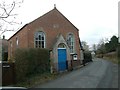
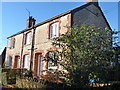
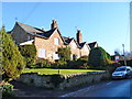
Photos of SN11 9LL
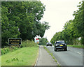
![Alongside the wood [1] in SN11 9LL](https://images.propbar.co.uk/images/geograph/42/71/4271906_120.jpg)
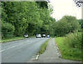
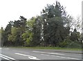
![Alongside the wood [2] in SN11 9LL](https://images.propbar.co.uk/images/geograph/42/72/4272612_120.jpg)
24 photos from this area
Area Information
Key information about the SN11 9LL including its size, population, and administrative classification.
- Area Type
- Postcode
- Area Size
- 33.3 hectares
- Population
- 2582
- Population Density
- 88 people/km²
House Prices in SN11 9LL
3
Properties
-
Average Sold Price
-
Lowest Price
-
Highest Price
Showing 3 properties
| Address | Type | Beds | Baths | Last Sale Price | Last Sale Date | |
|---|---|---|---|---|---|---|
| Saxon Lains, Norley Lane North East C 136 To Old Railway Line, Studley, SN11 9LL | Detached | - | - | - | - | |
| Studley House Farmhouse, Norley Lane North East C 136 To Old Railway Line, Studley, SN11 9LL | house | - | - | - | - | |
| Studley House Farm Cottage, Norley Lane North East C 136 To Old Railway Line, Studley, SN11 9LL | Detached | 4 | - | - | - |
Energy Efficiency in SN11 9LL
Amenities
Schools
| Rank | School | Type | Entry gender | Ages |
|---|
Explore more schools in this area
Go to Schools tabDemographics
Household Size
Two person
most common
Accommodation Type
Houses
most common
Tenure
75
majority
Ethnic Group
White
most common
Religion
N/A
most common
Household Composition
N/A
most common
Age
47
median
Adults (30-64 years)
most common
Household Deprivation
N/A
with no deprivation
NS-SEC
43
in Lower managerial occupations
Explore more demographic insights in this area
Go to Demographics tabPlanning
Planning Constraints
- Flood RiskPremium
- Ramsar Wetland SitesPremium
- Area of Outstanding Natural BeautyPremium
- Protected Nature ReservePremium
- Protected WoodlandPremium