Area Overview for SN11 8XP
Photos of SN11 8XP
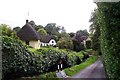
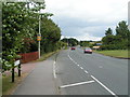

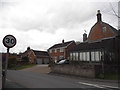
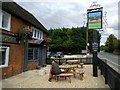
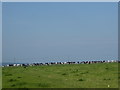
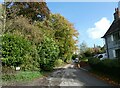
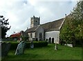
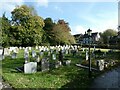
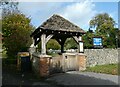
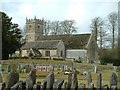
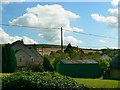
25 photos from this area
Area Information
Key information about the SN11 8XP including its size, population, and administrative classification.
- Area Type
- Postcode
- Area Size
- 14.3 hectares
- Population
- 1544
- Population Density
- 73 people/km²
House Prices in SN11 8XP
39
Properties
£471,810
Average Sold Price
£70,000
Lowest Price
£1,536,600
Highest Price
Showing 39 properties
| Address | Type | Beds | Baths | Last Sale Price | Last Sale Date | |
|---|---|---|---|---|---|---|
| 2 The Street, Cherhill, SN11 8XP | house | - | - | £925,000 | Aug 2022 | |
| 14 The Street, Cherhill, SN11 8XP | house | - | - | £675,000 | Jan 2022 | |
| Hunts Farm House, 22 The Street, Cherhill, SN11 8XP | house | 4 | - | £743,220 | Dec 2021 | |
| Four Gables, The Street, Cherhill, SN11 8XP | Bungalow | 2 | - | £370,000 | Jun 2021 | |
| 1 The Street, Cherhill, SN11 8XP | house | - | - | £490,000 | Jan 2021 | |
| 4 The Street, Cherhill, SN11 8XP | Detached | 4 | 2 | £700,000 | Nov 2020 | |
| Apple Tree Cottage, The Street, Cherhill, SN11 8XP | Detached | 4 | 1 | £425,000 | Oct 2020 | |
| The Manor House, 7 The Street, Cherhill, SN11 8XP | Detached | 6 | 5 | £1,536,600 | Aug 2019 | |
| 5 The Street, Cherhill, SN11 8XP | house | - | - | £70,000 | Feb 2019 | |
| 17A The Street, Cherhill, SN11 8XP | Bungalow | - | - | £335,000 | Jul 2018 |
Page 1 of 4
Energy Efficiency in SN11 8XP
Amenities
Schools
| Rank | School | Type | Entry gender | Ages |
|---|
Explore more schools in this area
Go to Schools tabDemographics
Household Size
Two person
most common
Accommodation Type
Houses
most common
Tenure
85
majority
Ethnic Group
White
most common
Religion
N/A
most common
Household Composition
N/A
most common
Age
47
median
Adults (30-64 years)
most common
Household Deprivation
N/A
with no deprivation
NS-SEC
42
in Lower managerial occupations
Explore more demographic insights in this area
Go to Demographics tabPlanning
Planning Constraints
- Flood RiskPremium
- Ramsar Wetland SitesPremium
- Area of Outstanding Natural BeautyPremium
- Protected Nature ReservePremium
- Protected WoodlandPremium