Area Overview for SN10 3QR
Photos of SN10 3QR
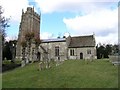
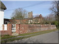
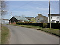
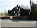
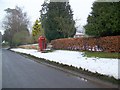
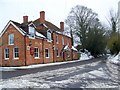
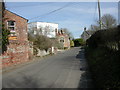
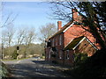
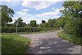
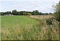
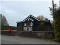
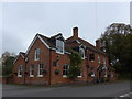
44 photos from this area
Area Information
Key information about the SN10 3QR including its size, population, and administrative classification.
- Area Type
- Postcode
- Area Size
- 42.3 hectares
- Population
- 1902
- Population Density
- 43 people/km²
House Prices in SN10 3QR
27
Properties
£251,429
Average Sold Price
£108,000
Lowest Price
£430,000
Highest Price
Showing 27 properties
| Address | Type | Beds | Baths | Last Sale Price | Last Sale Date | |
|---|---|---|---|---|---|---|
| Rosebank, Small Street, Chirton, SN10 3QR | Bungalow | 2 | 2 | £430,000 | Dec 2020 | |
| 22 Small Street, Chirton, SN10 3QR | house | 4 | 2 | £395,000 | Dec 2020 | |
| Bramley Hedges, Small Street, Chirton, SN10 3QR | Semi-detached | 3 | 1 | £259,000 | Sep 2020 | |
| 12 Small Street, Chirton, SN10 3QR | house | 3 | 1 | £108,000 | Jun 2020 | |
| 8 Small Street, Chirton, SN10 3QR | house | - | - | £110,500 | Oct 2018 | |
| Girdlestone, Small Street, Chirton, SN10 3QR | Detached | - | - | £227,500 | Nov 2004 | |
| 21 Small Street, Chirton, SN10 3QR | Detached | - | - | £230,000 | Jul 2000 | |
| Limairn, Small Street, Chirton, SN10 3QR | Semi-detached | 3 | - | - | - | |
| Meadow Drive, Small Street, Chirton, SN10 3QR | Detached | - | - | - | - | |
| 15 Small Street, Chirton, SN10 3QR | Bungalow | - | - | - | - |
Page 1 of 3
Energy Efficiency in SN10 3QR
Amenities
Schools
| Rank | School | Type | Entry gender | Ages |
|---|
Explore more schools in this area
Go to Schools tabDemographics
Household Size
Two person
most common
Accommodation Type
Houses
most common
Tenure
77
majority
Ethnic Group
White
most common
Religion
N/A
most common
Household Composition
N/A
most common
Age
47
median
Adults (30-64 years)
most common
Household Deprivation
N/A
with no deprivation
NS-SEC
43
in Lower managerial occupations
Explore more demographic insights in this area
Go to Demographics tabPlanning
Planning Constraints
- Flood RiskPremium
- Ramsar Wetland SitesPremium
- Area of Outstanding Natural BeautyPremium
- Protected Nature ReservePremium
- Protected WoodlandPremium