Area Overview for SN10 3LE
Photos of SN10 3LE
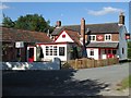
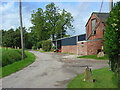
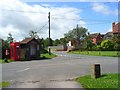
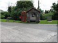

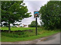
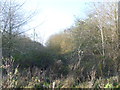
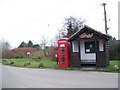
34 photos from this area
Area Information
Key information about the SN10 3LE including its size, population, and administrative classification.
- Area Type
- Postcode
- Area Size
- 1.5 hectares
- Population
- 1296
- Population Density
- 33 people/km²
House Prices in SN10 3LE
18
Properties
£395,484
Average Sold Price
£142,000
Lowest Price
£875,000
Highest Price
Showing 18 properties
| Address | Type | Beds | Baths | Last Sale Price | Last Sale Date | |
|---|---|---|---|---|---|---|
| 3, Ernle Cottages, Puddles Lane, Coate, SN10 3LE | Terraced | 2 | 1 | £300,000 | Oct 2025 | |
| 1, Ernle Cottages, Puddles Lane, Coate, SN10 3LE | Semi-detached | 4 | 2 | £310,000 | Jul 2024 | |
| Brindle House, Coate Lane South And East To T Junction, Coate, SN10 3LE | Detached | 4 | 2 | £711,600 | Feb 2024 | |
| Hayfields, Coate Lane South And East To T Junction, Coate, SN10 3LE | house | - | - | £875,000 | Dec 2023 | |
| 4, Ernle Cottages, Puddles Lane, Coate, SN10 3LE | house | - | - | £292,500 | Nov 2019 | |
| Hillside Cottage, Coate Lane South And East To T Junction, Coate, SN10 3LE | house | - | - | £390,000 | Feb 2017 | |
| Fieldside, Coate Lane South And East To T Junction, Coate, SN10 3LE | Detached | 4 | 3 | £302,500 | Oct 2016 | |
| 2, Ernle Cottages, Puddles Lane, Coate, SN10 3LE | house | - | - | £150,195 | Aug 2010 | |
| Orchard Cottage, Coate Lane South And East To T Junction, Coate, SN10 3LE | Detached | - | - | £745,000 | Feb 2008 | |
| Ivy Cottage, Coate Lane South And East To T Junction, Coate, SN10 3LE | house | 2 | - | £187,500 | Oct 2004 |
Page 1 of 2
Energy Efficiency in SN10 3LE
Amenities
Schools
| Rank | School | Type | Entry gender | Ages |
|---|
Explore more schools in this area
Go to Schools tabDemographics
Household Size
Two person
most common
Accommodation Type
Houses
most common
Tenure
69
majority
Ethnic Group
White
most common
Religion
N/A
most common
Household Composition
N/A
most common
Age
47
median
Adults (30-64 years)
most common
Household Deprivation
N/A
with no deprivation
NS-SEC
40
in Lower managerial occupations
Explore more demographic insights in this area
Go to Demographics tabPlanning
Planning Constraints
- Flood RiskPremium
- Ramsar Wetland SitesPremium
- Area of Outstanding Natural BeautyPremium
- Protected Nature ReservePremium
- Protected WoodlandPremium