Area Overview for SN10 2HE
Photos of SN10 2HE
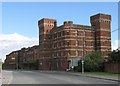
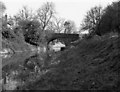
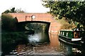
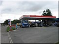
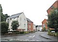
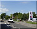
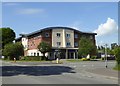
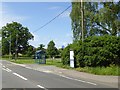
65 photos from this area
Area Information
Key information about the SN10 2HE including its size, population, and administrative classification.
- Area Type
- Postcode
- Area Size
- 7980 m²
- Population
- 1821
- Population Density
- 347 people/km²
House Prices in SN10 2HE
50
Properties
£139,466
Average Sold Price
£85,000
Lowest Price
£300,000
Highest Price
Showing 50 properties
| Address | Type | Beds | Baths | Last Sale Price | Last Sale Date | |
|---|---|---|---|---|---|---|
| 16 Combe Walk, Devizes, SN10 2HE | Semi-detached | 4 | 3 | £292,500 | May 2025 | |
| 31 Combe Walk, Devizes, SN10 2HE | Flat | 2 | - | £127,000 | Feb 2025 | |
| 14 Combe Walk, Devizes, SN10 2HE | Terraced | 5 | 2 | £260,000 | Feb 2025 | |
| 38 Combe Walk, Devizes, SN10 2HE | Flat | - | - | £94,875 | May 2024 | |
| 40 Combe Walk, Devizes, SN10 2HE | Flat | 1 | 1 | £95,000 | Jul 2023 | |
| 61 Combe Walk, Devizes, SN10 2HE | Flat | 2 | 2 | £155,000 | Jun 2023 | |
| 25 Combe Walk, Devizes, SN10 2HE | Flat | - | - | £165,000 | Jan 2023 | |
| 21 Combe Walk, Devizes, SN10 2HE | Flat | - | - | £150,000 | Nov 2021 | |
| 30 Combe Walk, Devizes, SN10 2HE | Flat | 1 | 1 | £92,502 | Sep 2021 | |
| 47 Combe Walk, Devizes, SN10 2HE | Flat | - | - | £112,000 | Jun 2021 |
Page 1 of 5
Energy Efficiency in SN10 2HE
Amenities
Schools
| Rank | School | Type | Entry gender | Ages |
|---|
Explore more schools in this area
Go to Schools tabDemographics
Household Size
Two person
most common
Accommodation Type
Houses
most common
Tenure
65
majority
Ethnic Group
White
most common
Religion
N/A
most common
Household Composition
N/A
most common
Age
47
median
Adults (30-64 years)
most common
Household Deprivation
N/A
with no deprivation
NS-SEC
37
in Lower managerial occupations
Explore more demographic insights in this area
Go to Demographics tabPlanning
Planning Constraints
- Flood RiskPremium
- Ramsar Wetland SitesPremium
- Area of Outstanding Natural BeautyPremium
- Protected Nature ReservePremium
- Protected WoodlandPremium