Area Overview for SN10 2HZ
Photos of SN10 2HZ
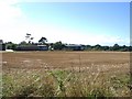
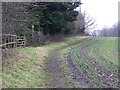
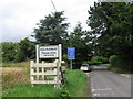
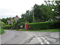
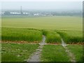
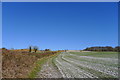
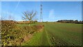
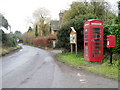
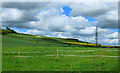
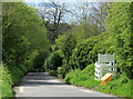
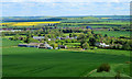
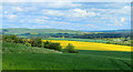
31 photos from this area
Area Information
Key information about the SN10 2HZ including its size, population, and administrative classification.
- Area Type
- Postcode
- Area Size
- 89.0 hectares
- Population
- 1821
- Population Density
- 347 people/km²
House Prices in SN10 2HZ
7
Properties
£1,682,833
Average Sold Price
£1,200,000
Lowest Price
£2,150,000
Highest Price
Showing 7 properties
| Address | Type | Beds | Baths | Last Sale Price | Last Sale Date | |
|---|---|---|---|---|---|---|
| The Glen, Conscience Lane, Roundway, SN10 2HZ | house | - | - | £1,200,000 | Jan 2023 | |
| Folly Cottage, Folly Road, Devizes, SN10 2HZ | Detached | 3 | 2 | £2,150,000 | Sep 2021 | |
| Roundway Farm House, Folly Road Devizes North To Roundway Farm, Roundway, SN10 2HZ | Equestrian | 5 | 3 | £1,698,500 | Aug 2008 | |
| Eastleigh, Roundway By Phone Box North Then North West To Car Park, Roundway, SN10 2HZ | house | 6 | 6 | - | - | |
| Dean Haen, Folly Road, Devizes, SN10 2HZ | house | - | - | - | - | |
| Westways Cottage, Roundway By Phone Box North Then North West To Car Park, Roundway, SN10 2HZ | house | - | - | - | - | |
| Lilac Cottage, Folly Road Devizes North To Roundway Farm, Roundway, SN10 2HZ | house | - | - | - | - |
Energy Efficiency in SN10 2HZ
Amenities
Schools
| Rank | School | Type | Entry gender | Ages |
|---|
Explore more schools in this area
Go to Schools tabDemographics
Household Size
Two person
most common
Accommodation Type
Houses
most common
Tenure
65
majority
Ethnic Group
White
most common
Religion
N/A
most common
Household Composition
N/A
most common
Age
47
median
Adults (30-64 years)
most common
Household Deprivation
N/A
with no deprivation
NS-SEC
37
in Lower managerial occupations
Explore more demographic insights in this area
Go to Demographics tabPlanning
Planning Constraints
- Flood RiskPremium
- Ramsar Wetland SitesPremium
- Area of Outstanding Natural BeautyPremium
- Protected Nature ReservePremium
- Protected WoodlandPremium