Area Overview for PL9 9HG
Photos of PL9 9HG
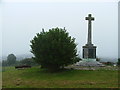
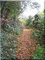
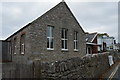
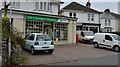
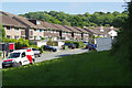
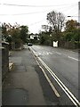
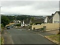
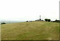
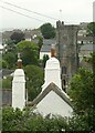
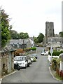
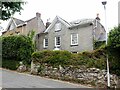
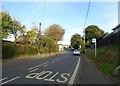
29 photos from this area
Area Information
Key information about the PL9 9HG including its size, population, and administrative classification.
- Area Type
- Postcode
- Area Size
- 1.6 hectares
- Population
- 1434
- Population Density
- 3422 people/km²
House Prices in PL9 9HG
28
Properties
£206,524
Average Sold Price
£40,000
Lowest Price
£458,000
Highest Price
Showing 28 properties
| Address | Type | Beds | Baths | Last Sale Price | Last Sale Date | |
|---|---|---|---|---|---|---|
| 2 Staddon Park Road, Plymouth, PL9 9HG | Bungalow | 4 | 2 | £458,000 | Jun 2025 | |
| 4 Staddon Park Road, Plymouth, PL9 9HG | Semi-detached | 3 | 2 | £370,000 | May 2024 | |
| 24 Staddon Park Road, Plymouth, PL9 9HG | Retail | 3 | 2 | £451,001 | Sep 2022 | |
| 6 Staddon Park Road, Plymouth, PL9 9HG | Bungalow | 2 | 1 | £325,000 | Apr 2022 | |
| 38 Staddon Park Road, Plymouth, PL9 9HG | Semi-detached | 4 | 1 | £210,000 | Jul 2019 | |
| 54 Staddon Park Road, Plymouth, PL9 9HG | Semi-detached | 2 | - | £180,000 | May 2018 | |
| 50 Staddon Park Road, Plymouth, PL9 9HG | Semi-detached | 2 | 1 | £170,000 | Nov 2016 | |
| 44 Staddon Park Road, Plymouth, PL9 9HG | Bungalow | - | - | £176,000 | Jun 2014 | |
| 32 Staddon Park Road, Plymouth, PL9 9HG | Bungalow | 3 | - | £250,000 | Jul 2012 | |
| 52 Staddon Park Road, Plymouth, PL9 9HG | Bungalow | 2 | - | £172,000 | Sep 2010 |
Page 1 of 3
Energy Efficiency in PL9 9HG
Amenities
Schools
| Rank | School | Type | Entry gender | Ages |
|---|
Explore more schools in this area
Go to Schools tabDemographics
Household Size
Two person
most common
Accommodation Type
Houses
most common
Tenure
76
majority
Ethnic Group
White
most common
Religion
N/A
most common
Household Composition
N/A
most common
Age
47
median
Adults (30-64 years)
most common
Household Deprivation
N/A
with no deprivation
NS-SEC
37
in Lower managerial occupations
Explore more demographic insights in this area
Go to Demographics tabPlanning
Planning Constraints
- Flood RiskPremium
- Ramsar Wetland SitesPremium
- Area of Outstanding Natural BeautyPremium
- Protected Nature ReservePremium
- Protected WoodlandPremium