Area Overview for PL5 3EA
Photos of PL5 3EA
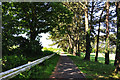
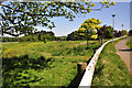
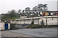
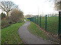
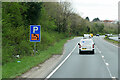
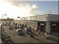
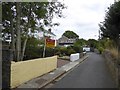
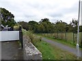
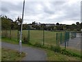
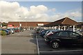
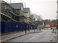
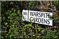
14 photos from this area
Area Information
Key information about the PL5 3EA including its size, population, and administrative classification.
- Area Type
- Postcode
- Area Size
- 8087 m²
- Population
- 1377
- Population Density
- 4340 people/km²
House Prices in PL5 3EA
30
Properties
£143,458
Average Sold Price
£107,500
Lowest Price
£209,000
Highest Price
Showing 30 properties
| Address | Type | Beds | Baths | Last Sale Price | Last Sale Date | |
|---|---|---|---|---|---|---|
| 100 Ruskin Crescent, Plymouth, PL5 3EA | Terraced | 3 | 1 | £209,000 | Jan 2023 | |
| 108 Ruskin Crescent, Plymouth, PL5 3EA | house | - | - | £170,000 | Jun 2022 | |
| 94 Ruskin Crescent, Plymouth, PL5 3EA | house | - | - | £130,000 | Oct 2021 | |
| 78 Ruskin Crescent, Plymouth, PL5 3EA | Terraced | 2 | 1 | £153,000 | Oct 2021 | |
| 70 Ruskin Crescent, Plymouth, PL5 3EA | Terraced | 2 | 1 | £145,000 | Jul 2017 | |
| 90 Ruskin Crescent, Plymouth, PL5 3EA | Terraced | 3 | 1 | £155,000 | Dec 2016 | |
| 68 Ruskin Crescent, Plymouth, PL5 3EA | house | 2 | 1 | £125,000 | Jun 2016 | |
| 128 Ruskin Crescent, Plymouth, PL5 3EA | Terraced | 3 | 1 | £140,000 | Apr 2016 | |
| 116 Ruskin Crescent, Plymouth, PL5 3EA | house | - | - | £120,000 | Feb 2016 | |
| 98 Ruskin Crescent, Plymouth, PL5 3EA | house | - | - | £140,000 | Oct 2014 |
Page 1 of 3
Energy Efficiency in PL5 3EA
Amenities
Schools
| Rank | School | Type | Entry gender | Ages |
|---|
Explore more schools in this area
Go to Schools tabDemographics
Household Size
Two person
most common
Accommodation Type
Houses
most common
Tenure
44
majority
Ethnic Group
White
most common
Religion
N/A
most common
Household Composition
N/A
most common
Age
47
median
Adults (30-64 years)
most common
Household Deprivation
N/A
with no deprivation
NS-SEC
17
in Lower managerial occupations
Explore more demographic insights in this area
Go to Demographics tabPlanning
Planning Constraints
- Flood RiskPremium
- Ramsar Wetland SitesPremium
- Area of Outstanding Natural BeautyPremium
- Protected Nature ReservePremium
- Protected WoodlandPremium