Area Overview for PL19 9HD
Photos of PL19 9HD
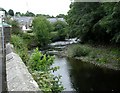
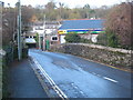
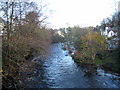
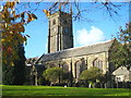
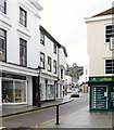
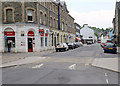

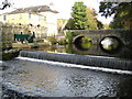
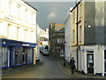
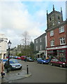
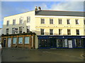
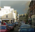
100 photos from this area
Area Information
Key information about the PL19 9HD including its size, population, and administrative classification.
- Area Type
- Postcode
- Area Size
- 1.5 hectares
- Population
- 1623
- Population Density
- 1855 people/km²
House Prices in PL19 9HD
13
Properties
£501,563
Average Sold Price
£292,500
Lowest Price
£751,000
Highest Price
Showing 13 properties
| Address | Type | Beds | Baths | Last Sale Price | Last Sale Date | |
|---|---|---|---|---|---|---|
| 11 Deer Park Lane, Tavistock, PL19 9HD | Detached | 5 | 2 | £751,000 | Apr 2025 | |
| Moorstone, 19 Deer Park Lane, Tavistock, PL19 9HD | Bungalow | - | - | £595,000 | Feb 2019 | |
| Park Cottage, 9 Deer Park Lane, Tavistock, PL19 9HD | Detached | 4 | 2 | £525,000 | Aug 2017 | |
| Aldenham, 2 Deer Park Lane, Tavistock, PL19 9HD | Bungalow | 4 | - | £485,000 | Mar 2016 | |
| 13 Deer Park Lane, Tavistock, PL19 9HD | Detached | 3 | 1 | £350,000 | Aug 2014 | |
| 4 Deer Park Lane, Tavistock, PL19 9HD | Detached | - | - | £292,500 | May 2013 | |
| 15 Deer Park Lane, Tavistock, PL19 9HD | house | 4 | - | £549,000 | Jun 2012 | |
| Downcroft, 8 Deer Park Lane, Tavistock, PL19 9HD | Detached | - | - | £465,000 | Nov 2005 | |
| Thistledome, Deer Park Lane, Tavistock, PL19 9HD | Detached | - | - | - | - | |
| Highmead, 17 Deer Park Lane, Tavistock, PL19 9HD | Detached | - | - | - | - |
Page 1 of 2
Energy Efficiency in PL19 9HD
Amenities
Schools
| Rank | School | Type | Entry gender | Ages |
|---|
Explore more schools in this area
Go to Schools tabDemographics
Household Size
Two person
most common
Accommodation Type
Houses
most common
Tenure
78
majority
Ethnic Group
White
most common
Religion
N/A
most common
Household Composition
N/A
most common
Age
47
median
Elderly (65+ years)
most common
Household Deprivation
N/A
with no deprivation
NS-SEC
38
in Lower managerial occupations
Explore more demographic insights in this area
Go to Demographics tabPlanning
Planning Constraints
- Flood RiskPremium
- Ramsar Wetland SitesPremium
- Area of Outstanding Natural BeautyPremium
- Protected Nature ReservePremium
- Protected WoodlandPremium