Area Overview for GL6 0HZ
Photos of GL6 0HZ
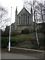
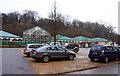
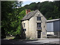
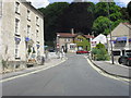
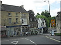
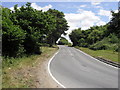
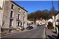
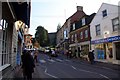
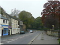
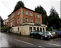
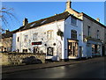
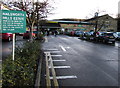
100 photos from this area
Area Information
Key information about the GL6 0HZ including its size, population, and administrative classification.
- Area Type
- Postcode
- Area Size
- 7545 m²
- Population
- 1624
- Population Density
- 114 people/km²
House Prices in GL6 0HZ
10
Properties
£335,250
Average Sold Price
£151,000
Lowest Price
£650,000
Highest Price
Showing 10 properties
| Address | Type | Beds | Baths | Last Sale Price | Last Sale Date | |
|---|---|---|---|---|---|---|
| Glenholme, Park Road, Nailsworth, GL6 0HZ | Detached | 3 | 1 | £650,000 | Jul 2025 | |
| Inglenook, Park Road, Nailsworth, GL6 0HZ | Bungalow | 2 | - | £335,000 | Jun 2021 | |
| Southcroft, Park Road, Nailsworth, GL6 0HZ | Bungalow | 2 | 1 | £315,000 | Jul 2018 | |
| Spring House, Park Road Crescent, Nailsworth, GL6 0HZ | Detached | 3 | - | £355,000 | Jan 2015 | |
| Newstones, Park Road, Nailsworth, GL6 0HZ | house | - | - | £250,000 | Dec 2012 | |
| Brooklyn, Park Road, Nailsworth, GL6 0HZ | house | - | - | £405,000 | Dec 2012 | |
| Sans Souci, Park Road Crescent, Nailsworth, GL6 0HZ | Detached | - | - | £221,000 | Dec 2009 | |
| Witton, Park Road, Nailsworth, GL6 0HZ | house | - | - | £151,000 | Aug 2001 | |
| Hillview, Park Road, Nailsworth, GL6 0HZ | Detached | - | - | - | - | |
| Redroofs, Park Road, Nailsworth, GL6 0HZ | Detached | - | - | - | - |
Energy Efficiency in GL6 0HZ
Amenities
Schools
| Rank | School | Type | Entry gender | Ages |
|---|
Explore more schools in this area
Go to Schools tabDemographics
Household Size
Two person
most common
Accommodation Type
Houses
most common
Tenure
80
majority
Ethnic Group
White
most common
Religion
N/A
most common
Household Composition
N/A
most common
Age
47
median
Adults (30-64 years)
most common
Household Deprivation
N/A
with no deprivation
NS-SEC
47
in Lower managerial occupations
Explore more demographic insights in this area
Go to Demographics tabPlanning
Planning Constraints
- Flood RiskPremium
- Ramsar Wetland SitesPremium
- Area of Outstanding Natural BeautyPremium
- Protected Nature ReservePremium
- Protected WoodlandPremium