Area Overview for GL6 0HH
Photos of GL6 0HH
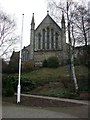
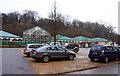
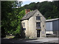
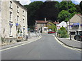
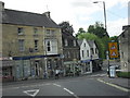

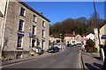
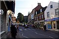
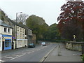
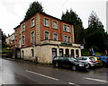
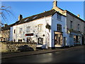
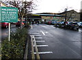
100 photos from this area
Area Information
Key information about the GL6 0HH including its size, population, and administrative classification.
- Area Type
- Postcode
- Area Size
- 4589 m²
- Population
- 1624
- Population Density
- 114 people/km²
House Prices in GL6 0HH
12
Properties
£272,025
Average Sold Price
£110,000
Lowest Price
£530,125
Highest Price
Showing 12 properties
| Address | Type | Beds | Baths | Last Sale Price | Last Sale Date | |
|---|---|---|---|---|---|---|
| 2, York Villas, Bath Road, Nailsworth, GL6 0HH | Semi-detached | 5 | 3 | £530,125 | Nov 2023 | |
| 1, York Villas, Bath Road, Nailsworth, GL6 0HH | house | - | - | £390,000 | Feb 2021 | |
| Forge Cottage, Bath Road, Nailsworth, GL6 0HH | Detached | 5 | 3 | £180,000 | Dec 2009 | |
| Butterflies, Bath Road, Nailsworth, GL6 0HH | Flat | - | - | £150,000 | Jul 2006 | |
| Wortley Villa, Bath Road, Nailsworth, GL6 0HH | house | - | - | £110,000 | Aug 1995 | |
| 2, Forge Cottage, Bath Road, Nailsworth, GL6 0HH | Semi-detached | - | - | - | - | |
| Tennis 43M From Myrtle Cottage, Bath Road 28M From Unnamed Road, Bath Road, Nailsworth, GL6 0HH | Leisure | - | - | - | - | |
| Flat 3, The Old Village Inn, Bath Road, Nailsworth, GL6 0HH | Flat | - | - | - | - | |
| Flat 1, The Old Village Inn, Bath Road, Nailsworth, GL6 0HH | Flat | - | - | - | - | |
| Flat 2, The Old Village Inn, Bath Road, Nailsworth, GL6 0HH | Flat | - | - | - | - |
Page 1 of 2
Energy Efficiency in GL6 0HH
Amenities
Schools
| Rank | School | Type | Entry gender | Ages |
|---|
Explore more schools in this area
Go to Schools tabDemographics
Household Size
Two person
most common
Accommodation Type
Houses
most common
Tenure
80
majority
Ethnic Group
White
most common
Religion
N/A
most common
Household Composition
N/A
most common
Age
47
median
Adults (30-64 years)
most common
Household Deprivation
N/A
with no deprivation
NS-SEC
47
in Lower managerial occupations
Explore more demographic insights in this area
Go to Demographics tabPlanning
Planning Constraints
- Flood RiskPremium
- Ramsar Wetland SitesPremium
- Area of Outstanding Natural BeautyPremium
- Protected Nature ReservePremium
- Protected WoodlandPremium