Area Overview for GL56 9EG
Photos of GL56 9EG
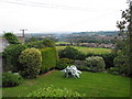
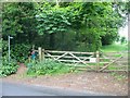
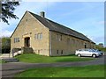
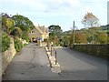
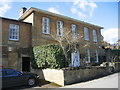
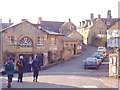
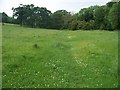
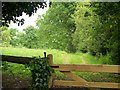
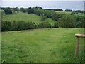
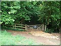
61 photos from this area
Area Information
Key information about the GL56 9EG including its size, population, and administrative classification.
- Area Type
- Postcode
- Area Size
- 9887 m²
- Population
- 1960
- Population Density
- 64 people/km²
House Prices in GL56 9EG
24
Properties
£92,929
Average Sold Price
£67,500
Lowest Price
£165,000
Highest Price
Showing 24 properties
| Address | Type | Beds | Baths | Last Sale Price | Last Sale Date | |
|---|---|---|---|---|---|---|
| 11 Summerfield Close, Blockley, GL56 9EG | Terraced | 2 | 1 | £105,000 | Feb 2019 | |
| 24 Summerfield Close, Blockley, GL56 9EG | house | - | - | £67,500 | Oct 2009 | |
| 21 Summerfield Close, Blockley, GL56 9EG | Terraced | - | - | £165,000 | Jul 2009 | |
| 23 Summerfield Close, Blockley, GL56 9EG | Terraced | - | - | £67,500 | Dec 2008 | |
| 22 Summerfield Close, Blockley, GL56 9EG | Terraced | - | - | £85,000 | Jul 2006 | |
| Little Gable, 13 Summerfield Close, Blockley, GL56 9EG | house | - | - | £79,000 | Dec 2004 | |
| 14 Summerfield Close, Blockley, GL56 9EG | Terraced | - | - | £81,500 | Nov 2004 | |
| 9 Summerfield Close, Blockley, GL56 9EG | Semi-detached | - | - | - | - | |
| 1 Summerfield Close, Blockley, GL56 9EG | house | - | - | - | - | |
| 16 Summerfield Close, Blockley, GL56 9EG | Semi-detached | 3 | 2 | - | - |
Page 1 of 3
Energy Efficiency in GL56 9EG
Amenities
Schools
| Rank | School | Type | Entry gender | Ages |
|---|
Explore more schools in this area
Go to Schools tabDemographics
Household Size
Two person
most common
Accommodation Type
Houses
most common
Tenure
70
majority
Ethnic Group
White
most common
Religion
N/A
most common
Household Composition
N/A
most common
Age
47
median
Adults (30-64 years)
most common
Household Deprivation
N/A
with no deprivation
NS-SEC
40
in Lower managerial occupations
Explore more demographic insights in this area
Go to Demographics tabPlanning
Planning Constraints
- Flood RiskPremium
- Ramsar Wetland SitesPremium
- Area of Outstanding Natural BeautyPremium
- Protected Nature ReservePremium
- Protected WoodlandPremium