Area Overview for GL56 9DY
Photos of GL56 9DY
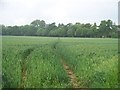
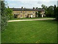
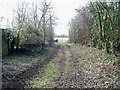
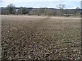
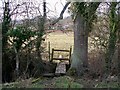
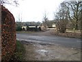
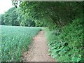
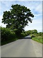
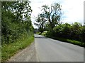
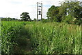
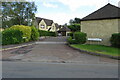
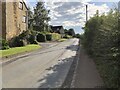
19 photos from this area
Area Information
Key information about the GL56 9DY including its size, population, and administrative classification.
- Area Type
- Postcode
- Area Size
- 33.3 hectares
- Population
- 1960
- Population Density
- 64 people/km²
House Prices in GL56 9DY
18
Properties
£669,821
Average Sold Price
£175,000
Lowest Price
£1,670,000
Highest Price
Showing 18 properties
| Address | Type | Beds | Baths | Last Sale Price | Last Sale Date | |
|---|---|---|---|---|---|---|
| Sheafhouse Cottage, Draycott Road, Blockley, GL56 9DY | Semi-detached | 2 | - | £387,000 | Sep 2021 | |
| Lions House, Draycott Road, Blockley, GL56 9DY | house | - | - | £985,000 | Nov 2020 | |
| Old Silk Mill, Draycott Road, Blockley, GL56 9DY | house | - | - | £1,670,000 | Feb 2020 | |
| Orchard Cottage, Draycott Road, Blockley, GL56 9DY | house | 3 | - | £495,000 | Sep 2011 | |
| Sheafhouse Barn, Draycott Road, Blockley, GL56 9DY | house | - | - | £495,000 | Aug 2009 | |
| Gantons Cottage, Draycott Road, Blockley, GL56 9DY | Bungalow | - | - | £175,000 | Jul 2003 | |
| Sheafhouse Grange, Draycott Road, Blockley, GL56 9DY | Detached | - | - | £481,750 | Jun 2002 | |
| The Old Farmhouse, Draycott Road, Blockley, GL56 9DY | Detached | 4 | 3 | - | - | |
| 1, Sheafhouse Farm, Draycott Road, Blockley, GL56 9DY | Detached | 5 | - | - | - | |
| Leeward, Draycott Road, Blockley, GL56 9DY | Detached | 5 | 4 | - | - |
Page 1 of 2
Energy Efficiency in GL56 9DY
Amenities
Schools
| Rank | School | Type | Entry gender | Ages |
|---|
Explore more schools in this area
Go to Schools tabDemographics
Household Size
Two person
most common
Accommodation Type
Houses
most common
Tenure
70
majority
Ethnic Group
White
most common
Religion
N/A
most common
Household Composition
N/A
most common
Age
47
median
Adults (30-64 years)
most common
Household Deprivation
N/A
with no deprivation
NS-SEC
40
in Lower managerial occupations
Explore more demographic insights in this area
Go to Demographics tabPlanning
Planning Constraints
- Flood RiskPremium
- Ramsar Wetland SitesPremium
- Area of Outstanding Natural BeautyPremium
- Protected Nature ReservePremium
- Protected WoodlandPremium