Area Overview for GL54 1EH
Photos of GL54 1EH

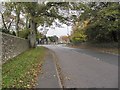
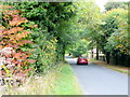


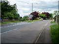
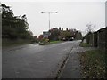
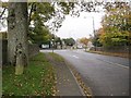
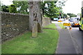
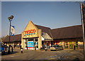
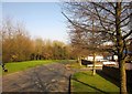
63 photos from this area
Area Information
Key information about the GL54 1EH including its size, population, and administrative classification.
- Area Type
- Postcode
- Area Size
- 9191 m²
- Population
- 1903
- Population Density
- 1271 people/km²
House Prices in GL54 1EH
14
Properties
£387,439
Average Sold Price
£249,950
Lowest Price
£550,000
Highest Price
Showing 14 properties
| Address | Type | Beds | Baths | Last Sale Price | Last Sale Date | |
|---|---|---|---|---|---|---|
| The Steps, Fosse Lane, Stow On The Wold, GL54 1EH | house | 3 | 2 | £405,000 | May 2024 | |
| The Rise, Fosse Lane, Stow On The Wold, GL54 1EH | house | - | - | £430,000 | Jun 2021 | |
| Sundial Cottage, Fosse Lane, Stow On The Wold, GL54 1EH | Bungalow | - | - | £550,000 | Jun 2021 | |
| The Beeches, Fosse Lane, Stow On The Wold, GL54 1EH | house | - | - | £380,000 | Aug 2014 | |
| The Sheling, Fosse Lane, Stow On The Wold, GL54 1EH | house | 4 | - | £400,000 | May 2014 | |
| Hanzin, Fosse Lane, Stow On The Wold, GL54 1EH | house | - | - | £278,000 | Dec 2009 | |
| Barrowgate, Fosse Lane, Stow On The Wold, GL54 1EH | Semi-detached | - | - | £335,000 | Aug 2006 | |
| Zephyrs, Fosse Lane, Stow On The Wold, GL54 1EH | house | - | - | £459,000 | Nov 2005 | |
| Gentian Cottage, Fosse Lane, Stow On The Wold, GL54 1EH | house | - | - | £249,950 | Mar 2004 | |
| Coreley, Fosse Lane, Stow On The Wold, GL54 1EH | Detached | 4 | 2 | - | - |
Page 1 of 2
Energy Efficiency in GL54 1EH
Amenities
Schools
| Rank | School | Type | Entry gender | Ages |
|---|
Explore more schools in this area
Go to Schools tabDemographics
Household Size
One person
most common
Accommodation Type
Houses
most common
Tenure
68
majority
Ethnic Group
White
most common
Religion
N/A
most common
Household Composition
N/A
most common
Age
47
median
Adults (30-64 years)
most common
Household Deprivation
N/A
with no deprivation
NS-SEC
34
in Lower managerial occupations
Explore more demographic insights in this area
Go to Demographics tabPlanning
Planning Constraints
- Flood RiskPremium
- Ramsar Wetland SitesPremium
- Area of Outstanding Natural BeautyPremium
- Protected Nature ReservePremium
- Protected WoodlandPremium