Area Overview for GL53 0DD
Photos of GL53 0DD
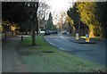
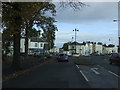
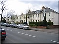
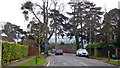
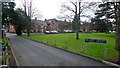

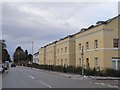
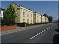
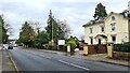
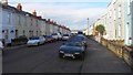
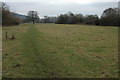
45 photos from this area
Area Information
Key information about the GL53 0DD including its size, population, and administrative classification.
- Area Type
- Postcode
- Area Size
- 5030 m²
- Population
- 1608
- Population Density
- 4540 people/km²
House Prices in GL53 0DD
42
Properties
£116,274
Average Sold Price
£42,500
Lowest Price
£173,001
Highest Price
Showing 42 properties
| Address | Type | Beds | Baths | Last Sale Price | Last Sale Date | |
|---|---|---|---|---|---|---|
| 28, Leckhampton Place, Old Station Drive, Cheltenham, GL53 0DD | Flat | 1 | 1 | £158,000 | Oct 2025 | |
| 21, Leckhampton Place, Old Station Drive, Cheltenham, GL53 0DD | Flat | - | - | £155,000 | Jul 2024 | |
| 31, Leckhampton Place, Old Station Drive, Cheltenham, GL53 0DD | Flat | - | - | £145,000 | Feb 2024 | |
| 10, Leckhampton Place, Old Station Drive, Cheltenham, GL53 0DD | Flat | - | - | £155,000 | Jan 2024 | |
| 36, Leckhampton Place, Old Station Drive, Cheltenham, GL53 0DD | Flat | 1 | 1 | £162,000 | Oct 2023 | |
| 25, Leckhampton Place, Old Station Drive, Cheltenham, GL53 0DD | Flat | - | - | £170,000 | Aug 2023 | |
| 24, Leckhampton Place, Old Station Drive, Cheltenham, GL53 0DD | Flat | - | - | £157,500 | Jul 2023 | |
| 20, Leckhampton Place, Old Station Drive, Cheltenham, GL53 0DD | Flat | - | - | £154,000 | Sep 2022 | |
| 33, Leckhampton Place, Old Station Drive, Cheltenham, GL53 0DD | Flat | 1 | 1 | £150,000 | Aug 2022 | |
| 30, Leckhampton Place, Old Station Drive, Cheltenham, GL53 0DD | Flat | 1 | 1 | £160,000 | May 2022 |
Page 1 of 5
Energy Efficiency in GL53 0DD
Amenities
Schools
| Rank | School | Type | Entry gender | Ages |
|---|
Explore more schools in this area
Go to Schools tabDemographics
Household Size
One person
most common
Accommodation Type
Houses
most common
Tenure
80
majority
Ethnic Group
White
most common
Religion
N/A
most common
Household Composition
N/A
most common
Age
47
median
Adults (30-64 years)
most common
Household Deprivation
N/A
with no deprivation
NS-SEC
52
in Lower managerial occupations
Explore more demographic insights in this area
Go to Demographics tabPlanning
Planning Constraints
- Flood RiskPremium
- Ramsar Wetland SitesPremium
- Area of Outstanding Natural BeautyPremium
- Protected Nature ReservePremium
- Protected WoodlandPremium