Area Overview for GL53 0BN
Photos of GL53 0BN
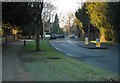
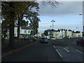
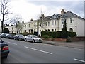
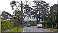
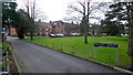
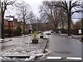
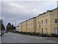
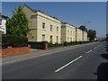
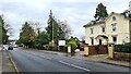
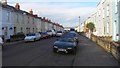
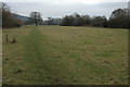
45 photos from this area
Area Information
Key information about the GL53 0BN including its size, population, and administrative classification.
- Area Type
- Postcode
- Area Size
- 7142 m²
- Population
- 1608
- Population Density
- 4540 people/km²
House Prices in GL53 0BN
9
Properties
£443,250
Average Sold Price
£175,500
Lowest Price
£715,000
Highest Price
Showing 9 properties
| Address | Type | Beds | Baths | Last Sale Price | Last Sale Date | |
|---|---|---|---|---|---|---|
| 94A Leckhampton Road, Cheltenham, GL53 0BN | Detached | 5 | 3 | £595,000 | Nov 2011 | |
| 90 Leckhampton Road, Cheltenham, GL53 0BN | Semi-detached | - | - | £715,000 | Dec 2005 | |
| 92 Leckhampton Road, Cheltenham, GL53 0BN | house | 5 | - | £440,000 | Feb 2004 | |
| 82 Leckhampton Road, Cheltenham, GL53 0BN | Detached | 5 | 1 | £175,500 | Jun 1999 | |
| Hampton House, 94 Leckhampton Road, Cheltenham, GL53 0BN | hospital_care_home | - | - | £499,000 | May 1999 | |
| 86 Leckhampton Road, Cheltenham, GL53 0BN | Semi-detached | - | - | £235,000 | Oct 1998 | |
| 84 Leckhampton Road, Cheltenham, GL53 0BN | Detached | 6 | 3 | - | - | |
| 88 Leckhampton Road, Cheltenham, GL53 0BN | Semi-detached | - | - | - | - | |
| 80 Leckhampton Road, Cheltenham, GL53 0BN | house | - | - | - | - |
Energy Efficiency in GL53 0BN
Amenities
Schools
| Rank | School | Type | Entry gender | Ages |
|---|
Explore more schools in this area
Go to Schools tabDemographics
Household Size
One person
most common
Accommodation Type
Houses
most common
Tenure
80
majority
Ethnic Group
White
most common
Religion
N/A
most common
Household Composition
N/A
most common
Age
47
median
Adults (30-64 years)
most common
Household Deprivation
N/A
with no deprivation
NS-SEC
52
in Lower managerial occupations
Explore more demographic insights in this area
Go to Demographics tabPlanning
Planning Constraints
- Flood RiskPremium
- Ramsar Wetland SitesPremium
- Area of Outstanding Natural BeautyPremium
- Protected Nature ReservePremium
- Protected WoodlandPremium