Area Overview for GL51 9AU
Photos of GL51 9AU

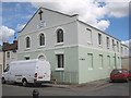
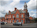
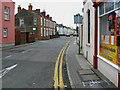
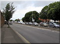
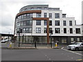
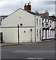
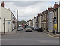
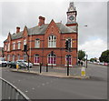
86 photos from this area
Area Information
Key information about the GL51 9AU including its size, population, and administrative classification.
- Area Type
- Postcode
- Area Size
- 7637 m²
- Population
- 1417
- Population Density
- 3106 people/km²
House Prices in GL51 9AU
21
Properties
£158,100
Average Sold Price
£48,500
Lowest Price
£250,000
Highest Price
Showing 21 properties
| Address | Type | Beds | Baths | Last Sale Price | Last Sale Date | |
|---|---|---|---|---|---|---|
| 30 Queen Street, Cheltenham, GL51 9AU | house | - | - | £230,000 | Nov 2021 | |
| 6 Queen Street, Cheltenham, GL51 9AU | Terraced | 3 | - | £250,000 | Sep 2021 | |
| 20 Queen Street, Cheltenham, GL51 9AU | house | - | - | £180,000 | Jul 2021 | |
| 16 Queen Street, Cheltenham, GL51 9AU | Terraced | 3 | 2 | £190,000 | Feb 2018 | |
| 14 Queen Street, Cheltenham, GL51 9AU | house | 3 | - | £173,500 | Nov 2017 | |
| 4 Queen Street, Cheltenham, GL51 9AU | Terraced | 3 | 1 | £165,000 | Mar 2016 | |
| 8 Queen Street, Cheltenham, GL51 9AU | house | 3 | - | £129,000 | Sep 2013 | |
| 28 Queen Street, Cheltenham, GL51 9AU | house | - | - | £125,000 | Mar 2010 | |
| 26 Queen Street, Cheltenham, GL51 9AU | Semi-detached | - | - | £90,000 | Sep 2009 | |
| 12 Queen Street, Cheltenham, GL51 9AU | house | - | - | £48,500 | May 1995 |
Page 1 of 3
Energy Efficiency in GL51 9AU
Amenities
Schools
| Rank | School | Type | Entry gender | Ages |
|---|
Explore more schools in this area
Go to Schools tabDemographics
Household Size
One person
most common
Accommodation Type
Houses
most common
Tenure
41
majority
Ethnic Group
White
most common
Religion
N/A
most common
Household Composition
N/A
most common
Age
47
median
Adults (30-64 years)
most common
Household Deprivation
N/A
with no deprivation
NS-SEC
20
in Lower managerial occupations
Explore more demographic insights in this area
Go to Demographics tabPlanning
Planning Constraints
- Flood RiskPremium
- Ramsar Wetland SitesPremium
- Area of Outstanding Natural BeautyPremium
- Protected Nature ReservePremium
- Protected WoodlandPremium