Area Overview for GL50 4NU
Photos of GL50 4NU
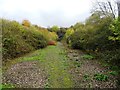
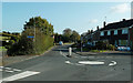
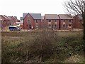
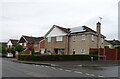
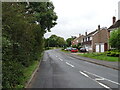
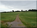
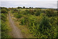
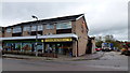
27 photos from this area
Area Information
Key information about the GL50 4NU including its size, population, and administrative classification.
- Area Type
- Postcode
- Area Size
- 1.2 hectares
- Population
- 2125
- Population Density
- 843 people/km²
House Prices in GL50 4NU
30
Properties
£237,615
Average Sold Price
£74,000
Lowest Price
£402,500
Highest Price
Showing 30 properties
| Address | Type | Beds | Baths | Last Sale Price | Last Sale Date | |
|---|---|---|---|---|---|---|
| 31 Paddocks Lane, Cheltenham, GL50 4NU | Semi-detached | 3 | 2 | £402,500 | Jan 2025 | |
| 9 Paddocks Lane, Cheltenham, GL50 4NU | Semi-detached | 3 | 1 | £325,000 | Nov 2023 | |
| 1 Paddocks Lane, Cheltenham, GL50 4NU | house | - | - | £365,000 | Sep 2021 | |
| 11 Paddocks Lane, Cheltenham, GL50 4NU | Semi-detached | 3 | 2 | £353,000 | Jun 2021 | |
| 49 Paddocks Lane, Cheltenham, GL50 4NU | Semi-detached | 3 | - | £240,500 | Dec 2013 | |
| 25 Paddocks Lane, Cheltenham, GL50 4NU | Semi-detached | 3 | - | £225,000 | Jul 2013 | |
| 21 Paddocks Lane, Cheltenham, GL50 4NU | house | - | - | £269,950 | Dec 2012 | |
| 59 Paddocks Lane, Cheltenham, GL50 4NU | house | 3 | - | £220,000 | Apr 2010 | |
| 53 Paddocks Lane, Cheltenham, GL50 4NU | Semi-detached | - | - | £257,500 | Jun 2008 | |
| 15 Paddocks Lane, Cheltenham, GL50 4NU | Semi-detached | - | - | £237,500 | Aug 2006 |
Page 1 of 3
Energy Efficiency in GL50 4NU
Amenities
Schools
| Rank | School | Type | Entry gender | Ages |
|---|
Explore more schools in this area
Go to Schools tabDemographics
Household Size
Two person
most common
Accommodation Type
Houses
most common
Tenure
84
majority
Ethnic Group
White
most common
Religion
N/A
most common
Household Composition
N/A
most common
Age
47
median
Adults (30-64 years)
most common
Household Deprivation
N/A
with no deprivation
NS-SEC
40
in Lower managerial occupations
Explore more demographic insights in this area
Go to Demographics tabPlanning
Planning Constraints
- Flood RiskPremium
- Ramsar Wetland SitesPremium
- Area of Outstanding Natural BeautyPremium
- Protected Nature ReservePremium
- Protected WoodlandPremium