Area Overview for GL2 5LP
Photos of GL2 5LP
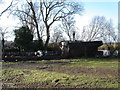
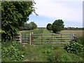
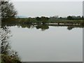
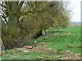
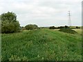
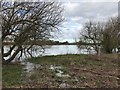
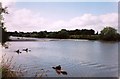
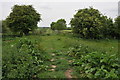

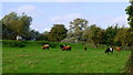
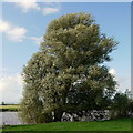
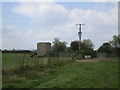
21 photos from this area
Area Information
Key information about the GL2 5LP including its size, population, and administrative classification.
- Area Type
- Postcode
- Area Size
- 1.3 km²
- Population
- 1633
- Population Density
- 104 people/km²
House Prices in GL2 5LP
16
Properties
£202,200
Average Sold Price
£110,000
Lowest Price
£300,000
Highest Price
Showing 16 properties
| Address | Type | Beds | Baths | Last Sale Price | Last Sale Date | |
|---|---|---|---|---|---|---|
| 2, Cross Cottages, Rea Lane, Gloucester, GL2 5LP | Semi-detached | 2 | 1 | £234,000 | Mar 2022 | |
| Gina Croft, Rea Lane, Gloucester, GL2 5LP | Bungalow | 2 | 2 | £300,000 | Aug 2017 | |
| 1, Cross Cottages, Rea Lane, Gloucester, GL2 5LP | Semi-detached | 1 | 1 | £142,000 | May 2017 | |
| Coppins, Rea Lane, Gloucester, GL2 5LP | Bungalow | - | - | £225,000 | Sep 2009 | |
| Lowlands, Rea Lane, Gloucester, GL2 5LP | Land | 3 | 2 | £110,000 | May 1995 | |
| Severn Rise, Rea Lane, Gloucester, GL2 5LP | Detached | 4 | 2 | - | - | |
| Land And Buildings At, Middle Rea Farm, Rea Lane, Gloucester, GL2 5LP | Land | - | - | - | - | |
| Upper Rea Farm, Rea Lane, Gloucester, GL2 5LP | Flat | 5 | - | - | - | |
| Annexe At, Upper Rea Farm, Rea Lane, Gloucester, GL2 5LP | Flat | - | - | - | - | |
| Top Flat, Upper Rea Farm, Rea Lane, Gloucester, GL2 5LP | Flat | - | - | - | - |
Page 1 of 2
Energy Efficiency in GL2 5LP
Amenities
Schools
| Rank | School | Type | Entry gender | Ages |
|---|
Explore more schools in this area
Go to Schools tabDemographics
Household Size
Two person
most common
Accommodation Type
Houses
most common
Tenure
85
majority
Ethnic Group
White
most common
Religion
N/A
most common
Household Composition
N/A
most common
Age
47
median
Adults (30-64 years)
most common
Household Deprivation
N/A
with no deprivation
NS-SEC
46
in Lower managerial occupations
Explore more demographic insights in this area
Go to Demographics tabPlanning
Planning Constraints
- Flood RiskPremium
- Ramsar Wetland SitesPremium
- Area of Outstanding Natural BeautyPremium
- Protected Nature ReservePremium
- Protected WoodlandPremium