Area Overview for GL2 3NW
Photos of GL2 3NW
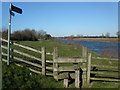
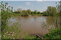
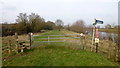
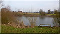
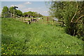
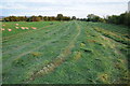
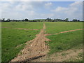
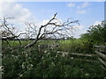
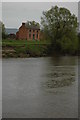
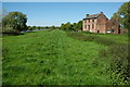
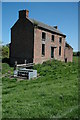
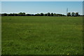
22 photos from this area
Area Information
Key information about the GL2 3NW including its size, population, and administrative classification.
- Area Type
- Postcode
- Area Size
- 1.5 km²
- Population
- 1633
- Population Density
- 104 people/km²
House Prices in GL2 3NW
14
Properties
£254,500
Average Sold Price
£86,000
Lowest Price
£420,000
Highest Price
Showing 14 properties
| Address | Type | Beds | Baths | Last Sale Price | Last Sale Date | |
|---|---|---|---|---|---|---|
| 6, Victoria Cottages, Elmore Lane West, Quedgeley, Gloucester, GL2 3NW | Terraced | 3 | 1 | £275,000 | May 2025 | |
| The Elms, Elmore Lane West, Quedgeley, Gloucester, GL2 3NW | Detached | 2 | 1 | £320,000 | Nov 2017 | |
| Severn Farm, Elmore Lane West, Quedgeley, Gloucester, GL2 3NW | house | - | - | £420,000 | Dec 2016 | |
| Rea Bridge House, Elmore Lane West, Quedgeley, Gloucester, GL2 3NW | Bungalow | 2 | - | £290,000 | May 2010 | |
| 5, Victoria Cottages, Elmore Lane West, Quedgeley, Gloucester, GL2 3NW | Terraced | 3 | 1 | £130,000 | Feb 2007 | |
| Little Haven, Elmore Lane West, Quedgeley, Gloucester, GL2 3NW | Detached | - | - | £275,000 | Oct 2006 | |
| Whitestones, Elmore Lane West, Quedgeley, Gloucester, GL2 3NW | Semi-detached | - | - | £240,000 | Oct 2003 | |
| Stonecroft, Elmore Lane West, Quedgeley, Gloucester, GL2 3NW | Detached | - | - | £86,000 | Jun 1999 | |
| 4, Victoria Cottages, Elmore Lane West, Quedgeley, Gloucester, GL2 3NW | Terraced | 2 | 1 | - | - | |
| 1, Victoria Cottages, Elmore Lane West, Quedgeley, Gloucester, GL2 3NW | Terraced | 3 | 1 | - | - |
Page 1 of 2
Energy Efficiency in GL2 3NW
Amenities
Schools
| Rank | School | Type | Entry gender | Ages |
|---|
Explore more schools in this area
Go to Schools tabDemographics
Household Size
Two person
most common
Accommodation Type
Houses
most common
Tenure
85
majority
Ethnic Group
White
most common
Religion
N/A
most common
Household Composition
N/A
most common
Age
47
median
Adults (30-64 years)
most common
Household Deprivation
N/A
with no deprivation
NS-SEC
46
in Lower managerial occupations
Explore more demographic insights in this area
Go to Demographics tabPlanning
Planning Constraints
- Flood RiskPremium
- Ramsar Wetland SitesPremium
- Area of Outstanding Natural BeautyPremium
- Protected Nature ReservePremium
- Protected WoodlandPremium