Area Overview for GL2 2BT
Photos of GL2 2BT
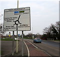
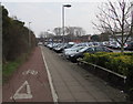
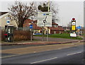
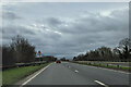
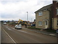
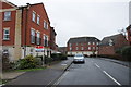
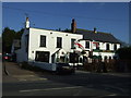
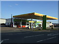
22 photos from this area
Area Information
Key information about the GL2 2BT including its size, population, and administrative classification.
- Area Type
- Postcode
- Area Size
- 2.5 hectares
- Population
- 1688
- Population Density
- 3386 people/km²
House Prices in GL2 2BT
48
Properties
£160,847
Average Sold Price
£70,000
Lowest Price
£265,000
Highest Price
Showing 48 properties
| Address | Type | Beds | Baths | Last Sale Price | Last Sale Date | |
|---|---|---|---|---|---|---|
| 14 Leeming Walk Kingsway, Quedgeley, Gloucester, GL2 2BT | Semi-detached | 3 | 1 | £250,000 | Aug 2024 | |
| 31 Leeming Walk Kingsway, Quedgeley, Gloucester, GL2 2BT | Terraced | 3 | 1 | £225,000 | Jun 2023 | |
| 16 Leeming Walk Kingsway, Quedgeley, Gloucester, GL2 2BT | Semi-detached | 3 | 2 | £265,000 | Dec 2022 | |
| 2 Leeming Walk Kingsway, Quedgeley, Gloucester, GL2 2BT | house | - | - | £90,000 | Mar 2021 | |
| 49 Leeming Walk Kingsway, Quedgeley, Gloucester, GL2 2BT | Terraced | 3 | - | £212,000 | Feb 2021 | |
| 21 Leeming Walk Kingsway, Quedgeley, Gloucester, GL2 2BT | Terraced | 3 | 1 | £182,000 | Jan 2021 | |
| 24 Leeming Walk Kingsway, Quedgeley, Gloucester, GL2 2BT | Terraced | 2 | 1 | £152,000 | Aug 2017 | |
| 22 Leeming Walk Kingsway, Quedgeley, Gloucester, GL2 2BT | Terraced | 2 | 1 | £135,000 | Dec 2015 | |
| 23 Leeming Walk Kingsway, Quedgeley, Gloucester, GL2 2BT | Terraced | 3 | 1 | £151,000 | Sep 2015 | |
| 1 Leeming Walk Kingsway, Quedgeley, Gloucester, GL2 2BT | house | - | - | £70,000 | Aug 2015 |
Page 1 of 5
Energy Efficiency in GL2 2BT
Amenities
Schools
| Rank | School | Type | Entry gender | Ages |
|---|
Explore more schools in this area
Go to Schools tabDemographics
Household Size
Family (3-5 people)
most common
Accommodation Type
Houses
most common
Tenure
57
majority
Ethnic Group
White
most common
Religion
N/A
most common
Household Composition
N/A
most common
Age
47
median
Adults (30-64 years)
most common
Household Deprivation
N/A
with no deprivation
NS-SEC
37
in Lower managerial occupations
Explore more demographic insights in this area
Go to Demographics tabPlanning
Planning Constraints
- Flood RiskPremium
- Ramsar Wetland SitesPremium
- Area of Outstanding Natural BeautyPremium
- Protected Nature ReservePremium
- Protected WoodlandPremium