Area Overview for GL17 9XU
Photos of GL17 9XU
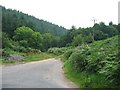
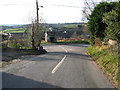
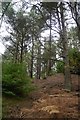
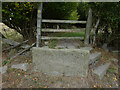
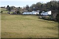
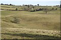
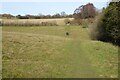
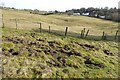
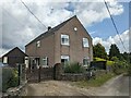
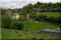
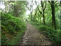
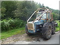
29 photos from this area
Area Information
Key information about the GL17 9XU including its size, population, and administrative classification.
- Area Type
- Postcode
- Area Size
- 1.5 hectares
- Population
- 1813
- Population Density
- 262 people/km²
House Prices in GL17 9XU
13
Properties
£185,000
Average Sold Price
£65,000
Lowest Price
£360,000
Highest Price
Showing 13 properties
| Address | Type | Beds | Baths | Last Sale Price | Last Sale Date | |
|---|---|---|---|---|---|---|
| Bradreev, Brierley Road, Ruardean Woodside, GL17 9XU | Detached | 4 | - | £360,000 | Mar 2021 | |
| Hillview, Brierley Road, Ruardean Woodside, GL17 9XU | Detached | - | - | £220,000 | Jan 2017 | |
| Woodland Glade, Brierley Road, Ruardean Woodside, GL17 9XU | Detached | 3 | 1 | £175,000 | Feb 2009 | |
| Forest House, Brierley Road, Ruardean Woodside, GL17 9XU | Detached | - | - | £105,000 | Apr 2002 | |
| Rosebank, Brierley Road, Ruardean Woodside, GL17 9XU | Detached | - | - | £65,000 | Jul 1998 | |
| Walmar, Brierley Road, Ruardean Woodside, GL17 9XU | Bungalow | 1 | 1 | - | - | |
| Lauriston Mains, Brierley Road, Ruardean Woodside, GL17 9XU | Detached | - | - | - | - | |
| Holmefield, Brierley Road, Ruardean Woodside, GL17 9XU | Detached | - | - | - | - | |
| Westway House, Brierley Road, Ruardean Woodside, GL17 9XU | Detached | - | - | - | - | |
| Woodside Cottage, Brierley Road, Ruardean Woodside, GL17 9XU | Detached | - | - | - | - |
Page 1 of 2
Energy Efficiency in GL17 9XU
Amenities
Schools
| Rank | School | Type | Entry gender | Ages |
|---|
Explore more schools in this area
Go to Schools tabDemographics
Household Size
Two person
most common
Accommodation Type
Houses
most common
Tenure
89
majority
Ethnic Group
White
most common
Religion
N/A
most common
Household Composition
N/A
most common
Age
47
median
Adults (30-64 years)
most common
Household Deprivation
N/A
with no deprivation
NS-SEC
33
in Lower managerial occupations
Explore more demographic insights in this area
Go to Demographics tabPlanning
Planning Constraints
- Flood RiskPremium
- Ramsar Wetland SitesPremium
- Area of Outstanding Natural BeautyPremium
- Protected Nature ReservePremium
- Protected WoodlandPremium