Area Overview for GL17 0LL
Photos of GL17 0LL
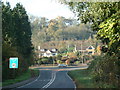
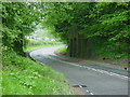
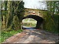
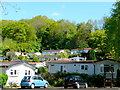
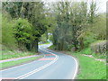
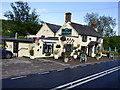
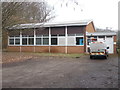
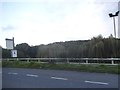
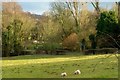
74 photos from this area
Area Information
Key information about the GL17 0LL including its size, population, and administrative classification.
- Area Type
- Postcode
- Area Size
- 33.6 hectares
- Population
- 1817
- Population Density
- 90 people/km²
House Prices in GL17 0LL
27
Properties
£290,375
Average Sold Price
£110,000
Lowest Price
£600,000
Highest Price
Showing 27 properties
| Address | Type | Beds | Baths | Last Sale Price | Last Sale Date | |
|---|---|---|---|---|---|---|
| Court Leet, Church Road, Longhope, GL17 0LL | Detached | 5 | 3 | £600,000 | Mar 2023 | |
| Crowfields, Church Road, Longhope, GL17 0LL | Detached | 4 | 2 | £465,000 | Sep 2021 | |
| Woodbourne, Church Road, Longhope, GL17 0LL | Bungalow | - | - | £275,000 | Feb 2021 | |
| Hortland, Church Road, Longhope, GL17 0LL | Bungalow | 3 | 2 | £570,000 | Nov 2020 | |
| Woodside, Church Road, Longhope, GL17 0LL | Detached | 5 | 1 | £375,000 | Aug 2020 | |
| Bumblebee Barn, Church Road, Longhope, GL17 0LL | house | - | - | £240,000 | Apr 2018 | |
| 2, Church Cottages, Church Road, Longhope, GL17 0LL | Cottage | 1 | 1 | £110,000 | May 2015 | |
| 1, Church Cottages, Church Road, Longhope, GL17 0LL | Cottage | 2 | 1 | £127,500 | Jan 2015 | |
| The Old Coach House, Church Road, Longhope, GL17 0LL | Detached | - | - | £250,000 | Jun 2010 | |
| Robinswood, Church Road, Longhope, GL17 0LL | Detached | - | - | £179,000 | May 2002 |
Page 1 of 3
Energy Efficiency in GL17 0LL
Amenities
Schools
| Rank | School | Type | Entry gender | Ages |
|---|
Explore more schools in this area
Go to Schools tabDemographics
Household Size
Two person
most common
Accommodation Type
Houses
most common
Tenure
86
majority
Ethnic Group
White
most common
Religion
N/A
most common
Household Composition
N/A
most common
Age
47
median
Adults (30-64 years)
most common
Household Deprivation
N/A
with no deprivation
NS-SEC
37
in Lower managerial occupations
Explore more demographic insights in this area
Go to Demographics tabPlanning
Planning Constraints
- Flood RiskPremium
- Ramsar Wetland SitesPremium
- Area of Outstanding Natural BeautyPremium
- Protected Nature ReservePremium
- Protected WoodlandPremium