Area Overview for GL16 8RU
Photos of GL16 8RU
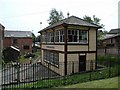
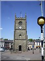
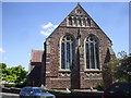
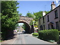
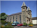
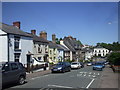
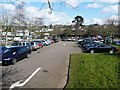
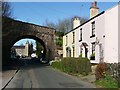
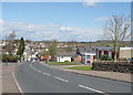
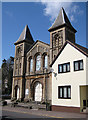
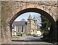
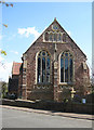
100 photos from this area
Area Information
Key information about the GL16 8RU including its size, population, and administrative classification.
- Area Type
- Postcode
- Area Size
- 9796 m²
- Population
- 1349
- Population Density
- 1032 people/km²
House Prices in GL16 8RU
42
Properties
£110,534
Average Sold Price
£38,250
Lowest Price
£255,000
Highest Price
Showing 42 properties
| Address | Type | Beds | Baths | Last Sale Price | Last Sale Date | |
|---|---|---|---|---|---|---|
| 15 Sylvan Close, Coleford, GL16 8RU | Terraced | 4 | 1 | £255,000 | Jan 2025 | |
| 38 Sylvan Close, Coleford, GL16 8RU | Flat | - | - | £88,500 | Nov 2024 | |
| 23 Sylvan Close, Coleford, GL16 8RU | Terraced | 2 | 1 | £200,000 | Jul 2024 | |
| 20 Sylvan Close, Coleford, GL16 8RU | Terraced | 2 | 1 | £178,000 | Aug 2023 | |
| 11 Sylvan Close, Coleford, GL16 8RU | Terraced | 2 | 1 | £200,000 | Jun 2023 | |
| 35 Sylvan Close, Coleford, GL16 8RU | Flat | - | - | £90,000 | Jun 2023 | |
| 42 Sylvan Close, Coleford, GL16 8RU | Flat | 1 | 1 | £65,000 | Mar 2023 | |
| 40 Sylvan Close, Coleford, GL16 8RU | Retail | 1 | 1 | £83,000 | May 2022 | |
| 1 Sylvan Close, Coleford, GL16 8RU | Maisonette | 1 | - | £165,000 | Nov 2021 | |
| 17 Sylvan Close, Coleford, GL16 8RU | Terraced | 2 | - | £166,000 | Nov 2021 |
Page 1 of 5
Energy Efficiency in GL16 8RU
Amenities
Schools
| Rank | School | Type | Entry gender | Ages |
|---|
Explore more schools in this area
Go to Schools tabDemographics
Household Size
One person
most common
Accommodation Type
Houses
most common
Tenure
54
majority
Ethnic Group
White
most common
Religion
N/A
most common
Household Composition
N/A
most common
Age
47
median
Adults (30-64 years)
most common
Household Deprivation
N/A
with no deprivation
NS-SEC
20
in Lower managerial occupations
Explore more demographic insights in this area
Go to Demographics tabPlanning
Planning Constraints
- Flood RiskPremium
- Ramsar Wetland SitesPremium
- Area of Outstanding Natural BeautyPremium
- Protected Nature ReservePremium
- Protected WoodlandPremium