Area Overview for GL16 8RS
Photos of GL16 8RS
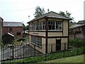
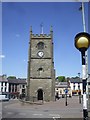
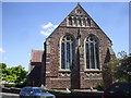
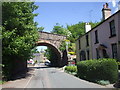
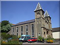
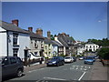
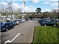
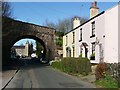
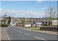
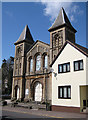
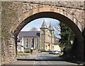
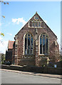
100 photos from this area
Area Information
Key information about the GL16 8RS including its size, population, and administrative classification.
- Area Type
- Postcode
- Area Size
- 5.3 hectares
- Population
- 1851
- Population Density
- 1265 people/km²
House Prices in GL16 8RS
72
Properties
£126,508
Average Sold Price
£50,000
Lowest Price
£200,000
Highest Price
Showing 72 properties
| Address | Type | Beds | Baths | Last Sale Price | Last Sale Date | |
|---|---|---|---|---|---|---|
| 15 Kings Meade, Coleford, GL16 8RS | Detached | 2 | 1 | £199,950 | Sep 2025 | |
| 28 Kings Meade, Coleford, GL16 8RS | Bungalow | 2 | 1 | £200,000 | Aug 2025 | |
| 53 Kings Meade, Coleford, GL16 8RS | Detached | 1 | 1 | £160,000 | Jul 2025 | |
| 54 Kings Meade, Coleford, GL16 8RS | Flat | - | - | £180,000 | Jan 2025 | |
| 27 Kings Meade, Coleford, GL16 8RS | Semi-detached | 2 | 1 | £195,000 | Sep 2024 | |
| 70 Kings Meade, Coleford, GL16 8RS | Semi-detached | 2 | 1 | £179,950 | Sep 2023 | |
| 48 Kings Meade, Coleford, GL16 8RS | Bungalow | 2 | 1 | £150,000 | Sep 2023 | |
| 34 Kings Meade, Coleford, GL16 8RS | Semi-detached | 2 | 1 | £160,000 | Mar 2023 | |
| 45 Kings Meade, Coleford, GL16 8RS | Semi-detached | 1 | 1 | £90,000 | Jan 2023 | |
| 25 Kings Meade, Coleford, GL16 8RS | Semi-detached | 1 | 1 | £165,000 | Dec 2021 |
Page 1 of 8
Energy Efficiency in GL16 8RS
Amenities
Schools
| Rank | School | Type | Entry gender | Ages |
|---|
Explore more schools in this area
Go to Schools tabDemographics
Household Size
One person
most common
Accommodation Type
Houses
most common
Tenure
61
majority
Ethnic Group
White
most common
Religion
N/A
most common
Household Composition
N/A
most common
Age
47
median
Adults (30-64 years)
most common
Household Deprivation
N/A
with no deprivation
NS-SEC
27
in Lower managerial occupations
Explore more demographic insights in this area
Go to Demographics tabPlanning
Planning Constraints
- Flood RiskPremium
- Ramsar Wetland SitesPremium
- Area of Outstanding Natural BeautyPremium
- Protected Nature ReservePremium
- Protected WoodlandPremium