Area Overview for GL15 6PN
Photos of GL15 6PN
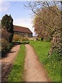
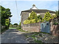
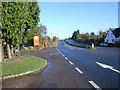
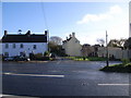
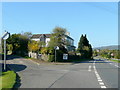
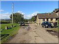
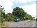
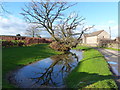
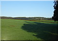
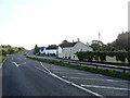
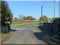
34 photos from this area
Area Information
Key information about the GL15 6PN including its size, population, and administrative classification.
- Area Type
- Postcode
- Area Size
- 81.0 hectares
- Population
- 1670
- Population Density
- 86 people/km²
House Prices in GL15 6PN
35
Properties
£345,333
Average Sold Price
£137,000
Lowest Price
£625,000
Highest Price
Showing 35 properties
| Address | Type | Beds | Baths | Last Sale Price | Last Sale Date | |
|---|---|---|---|---|---|---|
| Springfield, Station Road, Woolaston, GL15 6PN | Detached | 4 | 3 | £625,000 | Jun 2025 | |
| Westcroft, Station Road, Woolaston, GL15 6PN | Bungalow | 3 | 1 | £265,000 | Sep 2019 | |
| Luggs Cross House, Station Road, Woolaston, GL15 6PN | Detached | 4 | 2 | £470,000 | Aug 2015 | |
| Cleveland House, Station Road, Woolaston, GL15 6PN | Detached | 2 | 1 | £295,000 | Jul 2015 | |
| 2, Brookend Cottages, Station Road, Woolaston, GL15 6PN | house | 3 | - | £280,000 | Jan 2012 | |
| Tan House, Station Road, Woolaston, GL15 6PN | Detached | - | - | £137,000 | May 1997 | |
| Alnwick Grange, Plusterwine Farm, Station Road, Woolaston, GL15 6PN | Detached | 6 | 6 | - | - | |
| Windrush, Station Road, Woolaston, GL15 6PN | Bungalow | 3 | 1 | - | - | |
| Bramley Barn, Plusterwine Farm, Station Road, Woolaston, GL15 6PN | Retail | 3 | 3 | - | - | |
| Brewers Lodge, Plusterwine Farm, Station Road, Woolaston, GL15 6PN | Farm | 4 | 1 | - | - |
Page 1 of 4
Energy Efficiency in GL15 6PN
Amenities
Schools
| Rank | School | Type | Entry gender | Ages |
|---|
Explore more schools in this area
Go to Schools tabDemographics
Household Size
Two person
most common
Accommodation Type
Houses
most common
Tenure
85
majority
Ethnic Group
White
most common
Religion
N/A
most common
Household Composition
N/A
most common
Age
47
median
Adults (30-64 years)
most common
Household Deprivation
N/A
with no deprivation
NS-SEC
43
in Lower managerial occupations
Explore more demographic insights in this area
Go to Demographics tabPlanning
Planning Constraints
- Flood RiskPremium
- Ramsar Wetland SitesPremium
- Area of Outstanding Natural BeautyPremium
- Protected Nature ReservePremium
- Protected WoodlandPremium