Area Overview for GL15 6BH
Photos of GL15 6BH
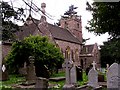
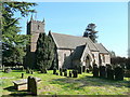
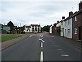
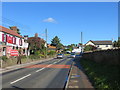
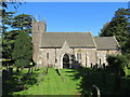
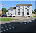
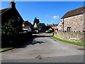
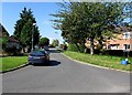
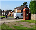
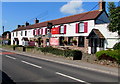
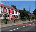
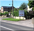
85 photos from this area
Area Information
Key information about the GL15 6BH including its size, population, and administrative classification.
- Area Type
- Postcode
- Area Size
- 50.9 hectares
- Population
- 1571
- Population Density
- 83 people/km²
House Prices in GL15 6BH
18
Properties
£335,600
Average Sold Price
£40,000
Lowest Price
£640,000
Highest Price
Showing 18 properties
| Address | Type | Beds | Baths | Last Sale Price | Last Sale Date | |
|---|---|---|---|---|---|---|
| Riverside, Church Lane, Alvington, GL15 6BH | Detached | 4 | 2 | £440,000 | Sep 2025 | |
| The Rag Cottage, Church Lane, Alvington, GL15 6BH | Detached | 3 | 2 | £630,000 | May 2021 | |
| Rossilyn, Church Lane, Alvington, GL15 6BH | Detached | 4 | 2 | £640,000 | Jan 2018 | |
| Rosemont, Church Lane, Alvington, GL15 6BH | house | 4 | - | £349,000 | Aug 2012 | |
| Avalon, Church Lane, Alvington, GL15 6BH | house | - | - | £170,000 | Apr 2012 | |
| Cotswold View, Church Lane, Alvington, GL15 6BH | house | - | - | £484,000 | Dec 2009 | |
| Wellwood, Church Lane, Alvington, GL15 6BH | house | - | - | £210,000 | Sep 2007 | |
| Claverley, Church Lane, Alvington, GL15 6BH | Detached | - | - | £320,000 | Dec 2005 | |
| Four Winds, Church Lane, Alvington, GL15 6BH | Bungalow | - | - | £40,000 | Oct 2000 | |
| Severn Breeze, Church Lane, Alvington, GL15 6BH | Bungalow | - | - | £73,000 | Apr 1998 |
Page 1 of 2
Energy Efficiency in GL15 6BH
Amenities
Schools
| Rank | School | Type | Entry gender | Ages |
|---|
Explore more schools in this area
Go to Schools tabDemographics
Household Size
Two person
most common
Accommodation Type
Houses
most common
Tenure
78
majority
Ethnic Group
White
most common
Religion
N/A
most common
Household Composition
N/A
most common
Age
47
median
Adults (30-64 years)
most common
Household Deprivation
N/A
with no deprivation
NS-SEC
34
in Lower managerial occupations
Explore more demographic insights in this area
Go to Demographics tabPlanning
Planning Constraints
- Flood RiskPremium
- Ramsar Wetland SitesPremium
- Area of Outstanding Natural BeautyPremium
- Protected Nature ReservePremium
- Protected WoodlandPremium