Area Overview for GL14 3LL
Photos of GL14 3LL
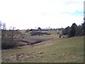
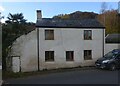
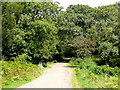
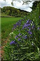
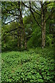
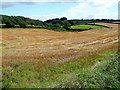
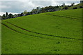
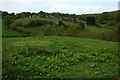
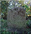
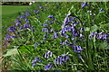
12 photos from this area
Area Information
Key information about the GL14 3LL including its size, population, and administrative classification.
- Area Type
- Postcode
- Area Size
- 65.7 hectares
- Population
- 2039
- Population Density
- 110 people/km²
House Prices in GL14 3LL
19
Properties
£445,000
Average Sold Price
£375,000
Lowest Price
£580,000
Highest Price
Showing 19 properties
| Address | Type | Beds | Baths | Last Sale Price | Last Sale Date | |
|---|---|---|---|---|---|---|
| Greenway House, Greenway, Littledean, GL14 3LL | Detached | 4 | 3 | £580,000 | Jun 2015 | |
| Greenway Farm, Greenway, Littledean, GL14 3LL | Bungalow | 4 | - | £430,000 | May 2013 | |
| Eleven Oaks, Greenway, Littledean, GL14 3LL | Bungalow | - | - | £375,000 | Sep 2009 | |
| Greenway Barn, Greenway, Littledean, GL14 3LL | house | - | - | £395,000 | Aug 2007 | |
| Old Farm House, Greenway, Littledean, GL14 3LL | Detached | 5 | 4 | - | - | |
| The Cottage, Road From Junction With Littledean Road To Greenway, Dentons Corner, Littledean, GL14 3LL | Cottage | 2 | 1 | - | - | |
| Dunromin, Greenway, Littledean, GL14 3LL | Retail | 3 | 2 | - | - | |
| 1 Greenway, Littledean, GL14 3LL | Semi-detached | 4 | 1 | - | - | |
| The Old Swimming Pool, Old Farm House, Greenway, Littledean, GL14 3LL | Flat | - | - | - | - | |
| Chestnut House, Greenway, Littledean, GL14 3LL | house | 5 | 4 | - | - |
Page 1 of 2
Energy Efficiency in GL14 3LL
Amenities
Schools
| Rank | School | Type | Entry gender | Ages |
|---|
Explore more schools in this area
Go to Schools tabDemographics
Household Size
Two person
most common
Accommodation Type
Houses
most common
Tenure
83
majority
Ethnic Group
White
most common
Religion
N/A
most common
Household Composition
N/A
most common
Age
47
median
Adults (30-64 years)
most common
Household Deprivation
N/A
with no deprivation
NS-SEC
32
in Lower managerial occupations
Explore more demographic insights in this area
Go to Demographics tabPlanning
Planning Constraints
- Flood RiskPremium
- Ramsar Wetland SitesPremium
- Area of Outstanding Natural BeautyPremium
- Protected Nature ReservePremium
- Protected WoodlandPremium