Area Overview for GL14 3LG
Photos of GL14 3LG
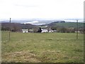
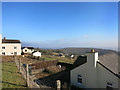
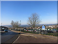
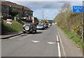
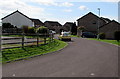
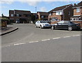
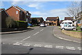
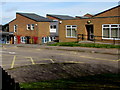
37 photos from this area
Area Information
Key information about the GL14 3LG including its size, population, and administrative classification.
- Area Type
- Postcode
- Area Size
- 41.2 hectares
- Population
- 2039
- Population Density
- 110 people/km²
House Prices in GL14 3LG
18
Properties
£202,438
Average Sold Price
£60,000
Lowest Price
£325,000
Highest Price
Showing 18 properties
| Address | Type | Beds | Baths | Last Sale Price | Last Sale Date | |
|---|---|---|---|---|---|---|
| Grove House, Collafield, Littledean, GL14 3LG | house | - | - | £200,000 | Aug 2015 | |
| Ingleside Cottage, Collafield, Littledean, GL14 3LG | Cottage | 2 | 1 | £167,500 | Jul 2012 | |
| Firs, Collafield, Littledean, GL14 3LG | Detached | - | - | £325,000 | Aug 2007 | |
| Four Winds, Collafield, Littledean, GL14 3LG | Detached | - | - | £285,000 | Nov 2005 | |
| Honeybee Cottage, Collafield, Littledean, GL14 3LG | house | - | - | £250,000 | Nov 2003 | |
| Rose Cottage, Collafield, Littledean, GL14 3LG | Detached | - | - | £60,000 | Aug 2002 | |
| Nut Beam Cottage, Collafield, Littledean, GL14 3LG | Semi-detached | - | - | £170,000 | Jun 2002 | |
| Karibuni, Collafield, Littledean, GL14 3LG | Detached | - | - | £162,000 | Sep 1999 | |
| Forest View, Collafield, Littledean, GL14 3LG | Detached | 4 | 2 | - | - | |
| 11 Collafield, Littledean, GL14 3LG | Detached | 4 | 2 | - | - |
Page 1 of 2
Energy Efficiency in GL14 3LG
Amenities
Schools
| Rank | School | Type | Entry gender | Ages |
|---|
Explore more schools in this area
Go to Schools tabDemographics
Household Size
Two person
most common
Accommodation Type
Houses
most common
Tenure
83
majority
Ethnic Group
White
most common
Religion
N/A
most common
Household Composition
N/A
most common
Age
47
median
Adults (30-64 years)
most common
Household Deprivation
N/A
with no deprivation
NS-SEC
32
in Lower managerial occupations
Explore more demographic insights in this area
Go to Demographics tabPlanning
Planning Constraints
- Flood RiskPremium
- Ramsar Wetland SitesPremium
- Area of Outstanding Natural BeautyPremium
- Protected Nature ReservePremium
- Protected WoodlandPremium