Area Overview for GL10 3HL
Photos of GL10 3HL
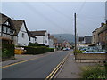
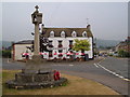
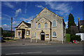
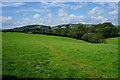
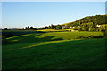
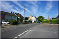
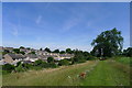
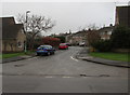
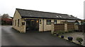
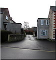
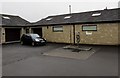
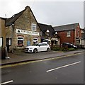
100 photos from this area
Area Information
Key information about the GL10 3HL including its size, population, and administrative classification.
- Area Type
- Postcode
- Area Size
- 1.1 hectares
- Population
- 2107
- Population Density
- 822 people/km²
House Prices in GL10 3HL
31
Properties
£260,354
Average Sold Price
£57,000
Lowest Price
£565,000
Highest Price
Showing 31 properties
| Address | Type | Beds | Baths | Last Sale Price | Last Sale Date | |
|---|---|---|---|---|---|---|
| 3A St Georges Avenue, Kings Stanley, GL10 3HL | Semi-detached | 3 | 1 | £243,750 | Aug 2025 | |
| 17 St Georges Avenue, Kings Stanley, GL10 3HL | Semi-detached | 3 | 1 | £365,000 | Sep 2024 | |
| 19 St Georges Avenue, Kings Stanley, GL10 3HL | Semi-detached | 2 | 1 | £275,000 | Nov 2022 | |
| 4A St Georges Avenue, Kings Stanley, GL10 3HL | Semi-detached | - | - | £360,000 | Dec 2020 | |
| 22 St Georges Avenue, Kings Stanley, GL10 3HL | Semi-detached | 3 | 1 | £245,000 | Nov 2019 | |
| 20 St Georges Avenue, Kings Stanley, GL10 3HL | Semi-detached | 3 | 1 | £196,000 | Sep 2016 | |
| 13 St Georges Avenue, Kings Stanley, GL10 3HL | Semi-detached | 2 | 1 | £190,000 | Sep 2016 | |
| Benoni, St Georges Avenue, Kings Stanley, GL10 3HL | Detached | 4 | - | £565,000 | Mar 2015 | |
| 14 St Georges Avenue, Kings Stanley, GL10 3HL | Semi-detached | 3 | 1 | £215,000 | Dec 2014 | |
| 2A St Georges Avenue, Kings Stanley, GL10 3HL | Detached | 4 | 2 | £295,000 | Sep 2013 |
Page 1 of 4
Energy Efficiency in GL10 3HL
Amenities
Schools
| Rank | School | Type | Entry gender | Ages |
|---|
Explore more schools in this area
Go to Schools tabDemographics
Household Size
Family (3-5 people)
most common
Accommodation Type
Houses
most common
Tenure
70
majority
Ethnic Group
White
most common
Religion
N/A
most common
Household Composition
N/A
most common
Age
47
median
Adults (30-64 years)
most common
Household Deprivation
N/A
with no deprivation
NS-SEC
35
in Lower managerial occupations
Explore more demographic insights in this area
Go to Demographics tabPlanning
Planning Constraints
- Flood RiskPremium
- Ramsar Wetland SitesPremium
- Area of Outstanding Natural BeautyPremium
- Protected Nature ReservePremium
- Protected WoodlandPremium