Area Overview for GL10 3HJ
Photos of GL10 3HJ
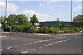
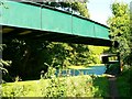
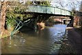
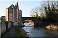
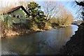
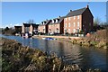
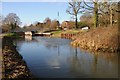
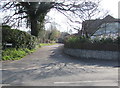
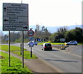
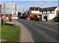
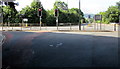

100 photos from this area
Area Information
Key information about the GL10 3HJ including its size, population, and administrative classification.
- Area Type
- Postcode
- Area Size
- 2.2 hectares
- Population
- 1330
- Population Density
- 121 people/km²
House Prices in GL10 3HJ
7
Properties
£378,600
Average Sold Price
£118,000
Lowest Price
£665,000
Highest Price
Showing 7 properties
| Address | Type | Beds | Baths | Last Sale Price | Last Sale Date | |
|---|---|---|---|---|---|---|
| Brook House, St Georges Avenue, Kings Stanley, GL10 3HJ | Detached | 5 | 2 | £480,000 | Mar 2019 | |
| Glenwood, St Georges Avenue, Kings Stanley, GL10 3HJ | Detached | 5 | 2 | £450,000 | Jul 2016 | |
| Greystones, St Georges Avenue, Kings Stanley, GL10 3HJ | Detached | 5 | - | £665,000 | Jul 2013 | |
| Cottage Farm, St Georges Avenue, Kings Stanley, GL10 3HJ | house | - | - | £180,000 | Apr 2006 | |
| Woodland View, St Georges Avenue, Kings Stanley, GL10 3HJ | Detached | - | - | £118,000 | Feb 2000 | |
| Hillcrest, St Georges Avenue, Kings Stanley, GL10 3HJ | house | 4 | 2 | - | - | |
| Church Lodge, St Georges Avenue, Kings Stanley, GL10 3HJ | Semi-detached | - | - | - | - |
Energy Efficiency in GL10 3HJ
Amenities
Schools
| Rank | School | Type | Entry gender | Ages |
|---|
Explore more schools in this area
Go to Schools tabDemographics
Household Size
Two person
most common
Accommodation Type
Houses
most common
Tenure
82
majority
Ethnic Group
White
most common
Religion
N/A
most common
Household Composition
N/A
most common
Age
47
median
Adults (30-64 years)
most common
Household Deprivation
N/A
with no deprivation
NS-SEC
37
in Lower managerial occupations
Explore more demographic insights in this area
Go to Demographics tabPlanning
Planning Constraints
- Flood RiskPremium
- Ramsar Wetland SitesPremium
- Area of Outstanding Natural BeautyPremium
- Protected Nature ReservePremium
- Protected WoodlandPremium