Area Overview for EX8 3EH
Photos of EX8 3EH
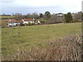
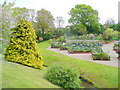
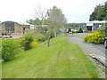

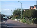
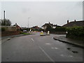
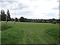
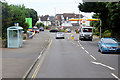
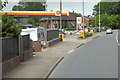
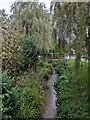
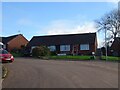
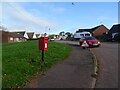
39 photos from this area
Area Information
Key information about the EX8 3EH including its size, population, and administrative classification.
- Area Type
- Postcode
- Area Size
- 3.1 hectares
- Population
- 1614
- Population Density
- 1308 people/km²
House Prices in EX8 3EH
17
Properties
£367,594
Average Sold Price
£105,000
Lowest Price
£550,000
Highest Price
Showing 17 properties
| Address | Type | Beds | Baths | Last Sale Price | Last Sale Date | |
|---|---|---|---|---|---|---|
| 10 Carberry Avenue, Exmouth, EX8 3EH | Detached | - | - | £470,000 | Sep 2023 | |
| 11 Carberry Avenue, Exmouth, EX8 3EH | Detached | 4 | 3 | £550,000 | Oct 2020 | |
| 20 Carberry Avenue, Exmouth, EX8 3EH | house | - | - | £495,000 | Aug 2020 | |
| 14 Carberry Avenue, Exmouth, EX8 3EH | Detached | 3 | 2 | £460,000 | Jul 2018 | |
| 8 Carberry Avenue, Exmouth, EX8 3EH | Bungalow | 3 | 1 | £427,000 | Jan 2018 | |
| 12 Carberry Avenue, Exmouth, EX8 3EH | Bungalow | - | - | £430,000 | Dec 2017 | |
| 13 Carberry Avenue, Exmouth, EX8 3EH | house | - | - | £465,000 | Jan 2017 | |
| 18 Carberry Avenue, Exmouth, EX8 3EH | Bungalow | - | - | £355,000 | Sep 2015 | |
| 4 Carberry Avenue, Exmouth, EX8 3EH | Bungalow | 4 | 2 | £390,000 | May 2015 | |
| 2 Carberry Avenue, Exmouth, EX8 3EH | house | - | - | £450,000 | Apr 2015 |
Page 1 of 2
Energy Efficiency in EX8 3EH
Amenities
Schools
| Rank | School | Type | Entry gender | Ages |
|---|
Explore more schools in this area
Go to Schools tabDemographics
Household Size
Two person
most common
Accommodation Type
Houses
most common
Tenure
83
majority
Ethnic Group
White
most common
Religion
N/A
most common
Household Composition
N/A
most common
Age
47
median
Elderly (65+ years)
most common
Household Deprivation
N/A
with no deprivation
NS-SEC
36
in Lower managerial occupations
Explore more demographic insights in this area
Go to Demographics tabPlanning
Planning Constraints
- Flood RiskPremium
- Ramsar Wetland SitesPremium
- Area of Outstanding Natural BeautyPremium
- Protected Nature ReservePremium
- Protected WoodlandPremium