Area Overview for EX4 2LA
Photos of EX4 2LA
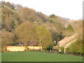
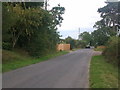
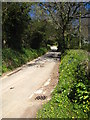
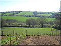
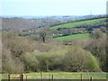
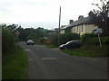
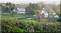
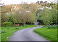
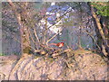
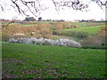
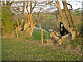
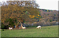
26 photos from this area
Area Information
Key information about the EX4 2LA including its size, population, and administrative classification.
- Area Type
- Postcode
- Area Size
- 11.2 hectares
- Population
- 1370
- Population Density
- 38 people/km²
House Prices in EX4 2LA
6
Properties
£426,635
Average Sold Price
£230,000
Lowest Price
£575,000
Highest Price
Showing 6 properties
| Address | Type | Beds | Baths | Last Sale Price | Last Sale Date | |
|---|---|---|---|---|---|---|
| 2, Centre Cottages, Road From Higher Hare To Barton Cottages, Whitestone, EX4 2LA | Cottage | 4 | 2 | £460,175 | Sep 2021 | |
| Hindcross, Road From Higher Hare To Barton Cottages, Whitestone, EX4 2LA | house | - | - | £543,000 | Apr 2016 | |
| 1, Centre Cottages, Road From Higher Hare To Barton Cottages, Whitestone, EX4 2LA | house | 3 | - | £325,000 | Apr 2012 | |
| Homedale, Road From Higher Hare To Barton Cottages, Whitestone, EX4 2LA | Land | 4 | - | £575,000 | Mar 2012 | |
| Pigie Bac Farm, Road From Higher Hare To Barton Cottages, Whitestone, EX4 2LA | Bungalow | - | - | £230,000 | Jul 1998 | |
| Edenfield, Merrymeet, Whitestone, EX4 2LA | Detached | - | - | - | - |
Energy Efficiency in EX4 2LA
Amenities
Schools
| Rank | School | Type | Entry gender | Ages |
|---|
Explore more schools in this area
Go to Schools tabDemographics
Household Size
Two person
most common
Accommodation Type
Houses
most common
Tenure
81
majority
Ethnic Group
White
most common
Religion
N/A
most common
Household Composition
N/A
most common
Age
47
median
Adults (30-64 years)
most common
Household Deprivation
N/A
with no deprivation
NS-SEC
37
in Lower managerial occupations
Explore more demographic insights in this area
Go to Demographics tabPlanning
Planning Constraints
- Flood RiskPremium
- Ramsar Wetland SitesPremium
- Area of Outstanding Natural BeautyPremium
- Protected Nature ReservePremium
- Protected WoodlandPremium