Area Overview for EX4 2JL
Photos of EX4 2JL
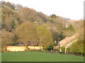
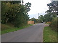
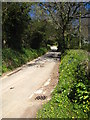
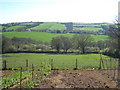
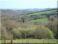
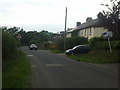

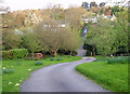
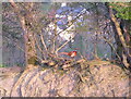
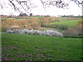
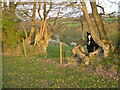
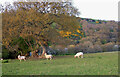
26 photos from this area
Area Information
Key information about the EX4 2JL including its size, population, and administrative classification.
- Area Type
- Postcode
- Area Size
- 13.4 hectares
- Population
- 1370
- Population Density
- 38 people/km²
House Prices in EX4 2JL
6
Properties
£408,200
Average Sold Price
£350,000
Lowest Price
£500,000
Highest Price
Showing 6 properties
| Address | Type | Beds | Baths | Last Sale Price | Last Sale Date | |
|---|---|---|---|---|---|---|
| Arosa, Pound Lane, Whitestone, EX4 2JL | Bungalow | - | - | £400,000 | Aug 2025 | |
| Meadowhayes, Pound Lane, Whitestone, EX4 2JL | Bungalow | - | - | £350,000 | Sep 2015 | |
| Whitehayes, Pound Lane, Whitestone, EX4 2JL | Detached | 4 | 3 | £386,000 | Feb 2014 | |
| Spring Gardens, Pound Lane, Whitestone, EX4 2JL | house | - | - | £500,000 | Jul 2007 | |
| Newton Orchard, Pound Lane, Whitestone, EX4 2JL | Detached | - | - | £405,000 | May 2005 | |
| BRIARDENE, POUND LANE, Whitestone, EX4 2JL | Detached | - | - | - | - |
Energy Efficiency in EX4 2JL
Amenities
Schools
| Rank | School | Type | Entry gender | Ages |
|---|
Explore more schools in this area
Go to Schools tabDemographics
Household Size
Two person
most common
Accommodation Type
Houses
most common
Tenure
81
majority
Ethnic Group
White
most common
Religion
N/A
most common
Household Composition
N/A
most common
Age
47
median
Adults (30-64 years)
most common
Household Deprivation
N/A
with no deprivation
NS-SEC
37
in Lower managerial occupations
Explore more demographic insights in this area
Go to Demographics tabPlanning
Planning Constraints
- Flood RiskPremium
- Ramsar Wetland SitesPremium
- Area of Outstanding Natural BeautyPremium
- Protected Nature ReservePremium
- Protected WoodlandPremium