Area Overview for EX33 2LD
Photos of EX33 2LD
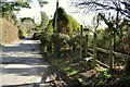
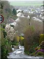
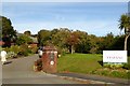
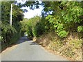
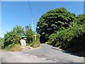
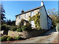
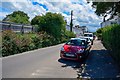
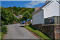
46 photos from this area
Area Information
Key information about the EX33 2LD including its size, population, and administrative classification.
- Area Type
- Postcode
- Area Size
- 3.2 hectares
- Population
- 2210
- Population Density
- 3704 people/km²
House Prices in EX33 2LD
24
Properties
£485,444
Average Sold Price
£157,500
Lowest Price
£895,000
Highest Price
Showing 24 properties
| Address | Type | Beds | Baths | Last Sale Price | Last Sale Date | |
|---|---|---|---|---|---|---|
| Sundial, East Hill, Braunton, EX33 2LD | Detached | 5 | 3 | £895,000 | May 2025 | |
| The Cleave, East Hill, Braunton, EX33 2LD | Semi-detached | 5 | 3 | £740,000 | May 2024 | |
| The Old Boat House, East Hill, Braunton, EX33 2LD | Detached | 2 | 2 | £475,000 | Jan 2021 | |
| Hillside, East Hill, Braunton, EX33 2LD | house | 5 | - | £625,000 | Jan 2019 | |
| Stoneycroft, East Hill, Braunton, EX33 2LD | house | - | - | £415,000 | Mar 2016 | |
| East Hill House, East Hill, Braunton, EX33 2LD | Detached | 4 | 1 | £317,500 | Dec 2014 | |
| Bayfield, East Hill, Braunton, EX33 2LD | Detached | - | - | £444,000 | Jan 2008 | |
| Yonder Wood, East Hill, Braunton, EX33 2LD | Detached | - | - | £300,000 | Nov 2002 | |
| Uphill, East Hill, Braunton, EX33 2LD | Semi-detached | - | - | £157,500 | Dec 2001 | |
| Granary Cottage, East Hill, Braunton, EX33 2LD | Cottage | 3 | 1 | - | - |
Page 1 of 3
Energy Efficiency in EX33 2LD
Amenities
Schools
| Rank | School | Type | Entry gender | Ages |
|---|
Explore more schools in this area
Go to Schools tabDemographics
Household Size
Two person
most common
Accommodation Type
Houses
most common
Tenure
75
majority
Ethnic Group
White
most common
Religion
N/A
most common
Household Composition
N/A
most common
Age
47
median
Adults (30-64 years)
most common
Household Deprivation
N/A
with no deprivation
NS-SEC
32
in Lower managerial occupations
Explore more demographic insights in this area
Go to Demographics tabPlanning
Planning Constraints
- Flood RiskPremium
- Ramsar Wetland SitesPremium
- Area of Outstanding Natural BeautyPremium
- Protected Nature ReservePremium
- Protected WoodlandPremium