Area Overview for EX23 9HF
Photos of EX23 9HF
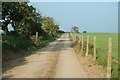
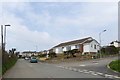
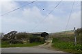
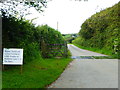
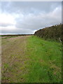
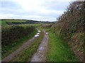
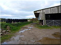
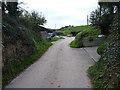
9 photos from this area
Area Information
Key information about the EX23 9HF including its size, population, and administrative classification.
- Area Type
- Postcode
- Area Size
- 2697 m²
- Population
- 1435
- Population Density
- 197 people/km²
House Prices in EX23 9HF
6
Properties
£215,492
Average Sold Price
£140,000
Lowest Price
£298,000
Highest Price
Showing 6 properties
| Address | Type | Beds | Baths | Last Sale Price | Last Sale Date | |
|---|---|---|---|---|---|---|
| 42 Northcott Mouth Road, Poughill, Bude, EX23 9HF | Semi-detached | 2 | 1 | £257,500 | Jul 2025 | |
| 32 Northcott Mouth Road, Poughill, Bude, EX23 9HF | Bungalow | 2 | 1 | £298,000 | Sep 2024 | |
| 40 Northcott Mouth Road, Poughill, Bude, EX23 9HF | Bungalow | 3 | 1 | £250,000 | Nov 2019 | |
| 38 Northcott Mouth Road, Poughill, Bude, EX23 9HF | Semi-detached | 2 | 1 | £189,950 | Jul 2015 | |
| 34 Northcott Mouth Road, Poughill, Bude, EX23 9HF | Semi-detached | 2 | 1 | £140,000 | Jan 2013 | |
| 36 Northcott Mouth Road, Poughill, Bude, EX23 9HF | Bungalow | 3 | - | £157,500 | Nov 2003 |
Energy Efficiency in EX23 9HF
Amenities
Schools
| Rank | School | Type | Entry gender | Ages |
|---|
Explore more schools in this area
Go to Schools tabDemographics
Household Size
Two person
most common
Accommodation Type
Houses
most common
Tenure
88
majority
Ethnic Group
White
most common
Religion
N/A
most common
Household Composition
N/A
most common
Age
47
median
Elderly (65+ years)
most common
Household Deprivation
N/A
with no deprivation
NS-SEC
35
in Lower managerial occupations
Explore more demographic insights in this area
Go to Demographics tabPlanning
Planning Constraints
- Flood RiskPremium
- Ramsar Wetland SitesPremium
- Area of Outstanding Natural BeautyPremium
- Protected Nature ReservePremium
- Protected WoodlandPremium