Area Overview for EX23 9HE
Photos of EX23 9HE
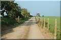
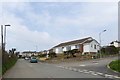
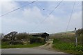
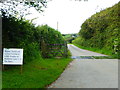
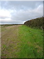
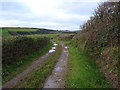
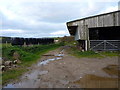
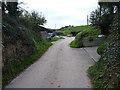
9 photos from this area
Area Information
Key information about the EX23 9HE including its size, population, and administrative classification.
- Area Type
- Postcode
- Area Size
- 9.5 hectares
- Population
- 1435
- Population Density
- 197 people/km²
House Prices in EX23 9HE
7
Properties
£209,779
Average Sold Price
£78,950
Lowest Price
£425,000
Highest Price
Showing 7 properties
| Address | Type | Beds | Baths | Last Sale Price | Last Sale Date | |
|---|---|---|---|---|---|---|
| 22 Northcott Mouth Road, Poughill, Bude, EX23 9HE | Bungalow | 3 | 2 | £425,000 | Nov 2024 | |
| 20 Northcott Mouth Road, Poughill, Bude, EX23 9HE | Bungalow | 3 | 1 | £250,000 | Dec 2023 | |
| Tremena, Northcott Mouth Road, Poughill, Bude, EX23 9HE | Bungalow | - | - | £230,000 | Jan 2016 | |
| 30 Northcott Mouth Road, Poughill, Bude, EX23 9HE | Bungalow | - | - | £250,000 | Feb 2008 | |
| 24 Northcott Mouth Road, Poughill, Bude, EX23 9HE | Bungalow | 3 | 2 | £140,000 | Aug 2005 | |
| 28 Northcott Mouth Road, Poughill, Bude, EX23 9HE | Detached | - | - | £94,500 | Jun 2000 | |
| 26 Northcott Mouth Road, Poughill, Bude, EX23 9HE | Bungalow | - | - | £78,950 | Jan 2000 |
Energy Efficiency in EX23 9HE
Amenities
Schools
| Rank | School | Type | Entry gender | Ages |
|---|
Explore more schools in this area
Go to Schools tabDemographics
Household Size
Two person
most common
Accommodation Type
Houses
most common
Tenure
88
majority
Ethnic Group
White
most common
Religion
N/A
most common
Household Composition
N/A
most common
Age
47
median
Elderly (65+ years)
most common
Household Deprivation
N/A
with no deprivation
NS-SEC
35
in Lower managerial occupations
Explore more demographic insights in this area
Go to Demographics tabPlanning
Planning Constraints
- Flood RiskPremium
- Ramsar Wetland SitesPremium
- Area of Outstanding Natural BeautyPremium
- Protected Nature ReservePremium
- Protected WoodlandPremium