Area Overview for EX23 0AQ
Photos of EX23 0AQ
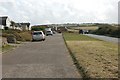
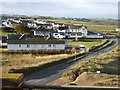
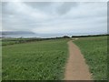
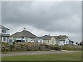

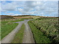
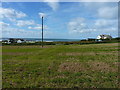


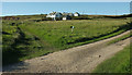
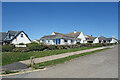
19 photos from this area
Area Information
Key information about the EX23 0AQ including its size, population, and administrative classification.
- Area Type
- Postcode
- Area Size
- 1.1 hectares
- Population
- 2428
- Population Density
- 44 people/km²
House Prices in EX23 0AQ
10
Properties
£525,286
Average Sold Price
£210,000
Lowest Price
£800,000
Highest Price
Showing 10 properties
| Address | Type | Beds | Baths | Last Sale Price | Last Sale Date | |
|---|---|---|---|---|---|---|
| Tamarisk, Marine Drive, Widemouth Bay, Bude, EX23 0AQ | house | - | - | £750,000 | Sep 2025 | |
| Lower Quinceborough, Marine Drive, Widemouth Bay, Bude, EX23 0AQ | Bungalow | 2 | 1 | £695,000 | Feb 2024 | |
| The Hazard, Marine Drive, Widemouth Bay, Bude, EX23 0AQ | Detached | 3 | 2 | £800,000 | Jun 2021 | |
| Westerlies, Marine Drive, Widemouth Bay, Bude, EX23 0AQ | Bungalow | - | - | £627,000 | Jan 2019 | |
| White Cottage, Marine Drive, Widemouth Bay, Bude, EX23 0AQ | Bungalow | 3 | 3 | £385,000 | Jun 2015 | |
| 1, Overdowns, Marine Drive, Widemouth Bay, Bude, EX23 0AQ | Flat | 8 | 7 | £210,000 | Nov 2000 | |
| Sea Compass, Marine Drive, Widemouth Bay, Bude, EX23 0AQ | Detached | - | - | £210,000 | Nov 2000 | |
| Little Haven, Marine Drive, Widemouth Bay, Bude, EX23 0AQ | Detached | 5 | 3 | - | - | |
| Clover, Marine Drive, Widemouth Bay, Bude, EX23 0AQ | Bungalow | 4 | 2 | - | - | |
| Sea Reach, Marine Drive, Widemouth Bay, Bude, EX23 0AQ | Bungalow | - | - | - | - |
Energy Efficiency in EX23 0AQ
Amenities
Schools
| Rank | School | Type | Entry gender | Ages |
|---|
Explore more schools in this area
Go to Schools tabDemographics
Household Size
Two person
most common
Accommodation Type
Houses
most common
Tenure
75
majority
Ethnic Group
White
most common
Religion
N/A
most common
Household Composition
N/A
most common
Age
47
median
Adults (30-64 years)
most common
Household Deprivation
N/A
with no deprivation
NS-SEC
30
in Lower managerial occupations
Explore more demographic insights in this area
Go to Demographics tabPlanning
Planning Constraints
- Flood RiskPremium
- Ramsar Wetland SitesPremium
- Area of Outstanding Natural BeautyPremium
- Protected Nature ReservePremium
- Protected WoodlandPremium