Area Overview for EX20 3ET
Photos of EX20 3ET
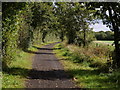
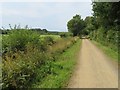
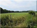
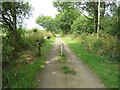
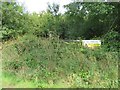
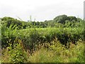
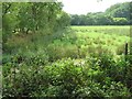
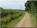
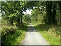
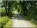
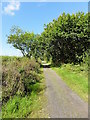
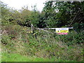
12 photos from this area
Area Information
Key information about the EX20 3ET including its size, population, and administrative classification.
- Area Type
- Postcode
- Area Size
- 5.6 km²
- Population
- 1513
- Population Density
- 21 people/km²
House Prices in EX20 3ET
24
Properties
£637,500
Average Sold Price
£235,000
Lowest Price
£1,187,500
Highest Price
Showing 24 properties
| Address | Type | Beds | Baths | Last Sale Price | Last Sale Date | |
|---|---|---|---|---|---|---|
| Little Butstone, Road From Little Marland Farm To Bury Cross, Petrockstowe, EX20 3ET | Detached | 4 | 2 | £750,000 | Jun 2025 | |
| Berry Cottage, Lane To Deer Park, Petrockstowe, EX20 3ET | house | - | - | £240,000 | Apr 2022 | |
| Petstone, Road From Little Marland Farm To Bury Cross, Petrockstowe, EX20 3ET | Bungalow | 3 | 3 | £550,000 | Nov 2020 | |
| Butstone Farm, Road From Little Marland Farm To Bury Cross, Petrockstowe, EX20 3ET | Detached | - | - | £925,000 | Nov 2016 | |
| Berry Farm, Lane To Deer Park, Petrockstowe, EX20 3ET | Semi-detached | - | - | £1,187,500 | Dec 2015 | |
| Old Barn, Lane To Deer Park, Petrockstowe, EX20 3ET | Detached | 5 | - | £575,000 | Nov 2011 | |
| Butstone Cottage, Road From Little Marland Farm To Bury Cross, Petrockstowe, EX20 3ET | Detached | - | - | £235,000 | Oct 2001 | |
| Quarry Hill, Road From Little Marland Farm To Bury Cross, Petrockstowe, EX20 3ET | Land | - | - | - | - | |
| Foxhill Cottage, Road From Little Marland Farm To Bury Cross, Petrockstowe, EX20 3ET | Detached | 4 | 2 | - | - | |
| Varleys, Road From Little Marland Farm To Bury Cross, Petrockstowe, EX20 3ET | Detached | 6 | - | - | - |
Page 1 of 3
Energy Efficiency in EX20 3ET
Amenities
Schools
| Rank | School | Type | Entry gender | Ages |
|---|
Explore more schools in this area
Go to Schools tabDemographics
Household Size
Two person
most common
Accommodation Type
Houses
most common
Tenure
76
majority
Ethnic Group
White
most common
Religion
N/A
most common
Household Composition
N/A
most common
Age
47
median
Adults (30-64 years)
most common
Household Deprivation
N/A
with no deprivation
NS-SEC
29
in Lower managerial occupations
Explore more demographic insights in this area
Go to Demographics tabPlanning
Planning Constraints
- Flood RiskPremium
- Ramsar Wetland SitesPremium
- Area of Outstanding Natural BeautyPremium
- Protected Nature ReservePremium
- Protected WoodlandPremium