Area Overview for EX2 7EF
Photos of EX2 7EF
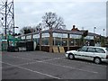
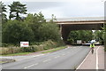
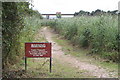
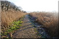
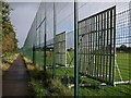
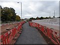
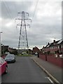
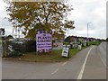
94 photos from this area
Area Information
Key information about the EX2 7EF including its size, population, and administrative classification.
- Area Type
- Postcode
- Area Size
- 6939 m²
- Population
- 1575
- Population Density
- 2232 people/km²
House Prices in EX2 7EF
20
Properties
£218,613
Average Sold Price
£60,000
Lowest Price
£375,000
Highest Price
Showing 20 properties
| Address | Type | Beds | Baths | Last Sale Price | Last Sale Date | |
|---|---|---|---|---|---|---|
| 39 Newport Road, Exeter, EX2 7EF | house | 4 | 1 | £375,000 | Jun 2025 | |
| 49 Newport Road, Exeter, EX2 7EF | Semi-detached | 4 | 1 | £254,000 | Jan 2024 | |
| 72 Newport Road, Exeter, EX2 7EF | house | - | - | £209,950 | Dec 2020 | |
| 80 Newport Road, Exeter, EX2 7EF | Semi-detached | 3 | - | £290,000 | Oct 2018 | |
| 45 Newport Road, Exeter, EX2 7EF | Semi-detached | 3 | - | £220,000 | May 2017 | |
| 41 Newport Road, Exeter, EX2 7EF | house | 3 | - | £160,000 | Jul 2014 | |
| 74 Newport Road, Exeter, EX2 7EF | Semi-detached | 3 | - | £179,950 | Oct 2006 | |
| 78 Newport Road, Exeter, EX2 7EF | Semi-detached | - | - | £60,000 | Dec 1998 | |
| 76 Newport Road, Exeter, EX2 7EF | Semi-detached | - | - | - | - | |
| 37C Newport Road, Exeter, EX2 7EF | Flat | - | - | - | - |
Page 1 of 2
Energy Efficiency in EX2 7EF
Amenities
Schools
| Rank | School | Type | Entry gender | Ages |
|---|
Explore more schools in this area
Go to Schools tabDemographics
Household Size
Family (3-5 people)
most common
Accommodation Type
Houses
most common
Tenure
56
majority
Ethnic Group
White
most common
Religion
N/A
most common
Household Composition
N/A
most common
Age
47
median
Adults (30-64 years)
most common
Household Deprivation
N/A
with no deprivation
NS-SEC
26
in Lower managerial occupations
Explore more demographic insights in this area
Go to Demographics tabPlanning
Planning Constraints
- Flood RiskPremium
- Ramsar Wetland SitesPremium
- Area of Outstanding Natural BeautyPremium
- Protected Nature ReservePremium
- Protected WoodlandPremium