Area Overview for EX14 9AY
Photos of EX14 9AY
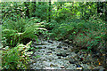
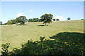
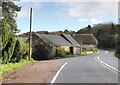
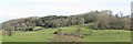
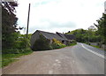
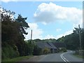
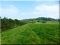
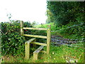
11 photos from this area
Area Information
Key information about the EX14 9AY including its size, population, and administrative classification.
- Area Type
- Postcode
- Area Size
- 78.5 hectares
- Population
- 1345
- Population Density
- 28 people/km²
House Prices in EX14 9AY
8
Properties
£643,333
Average Sold Price
£450,000
Lowest Price
£925,000
Highest Price
Showing 8 properties
| Address | Type | Beds | Baths | Last Sale Price | Last Sale Date | |
|---|---|---|---|---|---|---|
| Crawley House, Road From James Lane To Crawley Farm, Yarcombe, EX14 9AY | house | 5 | - | £925,000 | Sep 2023 | |
| Crawley Lodge, Road From James Lane To Crawley Farm, Yarcombe, EX14 9AY | Detached | - | - | £555,000 | Jun 2005 | |
| Little Crawley, Lane To Little Crawley, Yarcombe, EX14 9AY | house | 4 | - | £450,000 | Aug 2002 | |
| Home Park, Road From Yarcombe Garage To James Lane Cross, Yarcombe, EX14 9AY | undefined | - | - | - | - | |
| West Wing, Crawley Farm, Road From James Lane To Crawley Farm, Yarcombe, EX14 9AY | Detached | - | - | - | - | |
| Barn At, Crawley Farm, Road From James Lane To Crawley Farm, Yarcombe, EX14 9AY | Detached | - | - | - | - | |
| Crawley Green, Road From Yarcombe Garage To James Lane Cross, Yarcombe, EX14 9AY | Bungalow | - | - | - | - | |
| Duffields South West Yarcombe Mill Ltd, Road From James Lane To Crawley Farm, Yarcombe, EX14 9AY | Farm | - | - | - | - |
Energy Efficiency in EX14 9AY
Amenities
Schools
| Rank | School | Type | Entry gender | Ages |
|---|
Explore more schools in this area
Go to Schools tabDemographics
Household Size
Two person
most common
Accommodation Type
Houses
most common
Tenure
76
majority
Ethnic Group
White
most common
Religion
N/A
most common
Household Composition
N/A
most common
Age
47
median
Adults (30-64 years)
most common
Household Deprivation
N/A
with no deprivation
NS-SEC
38
in Lower managerial occupations
Explore more demographic insights in this area
Go to Demographics tabPlanning
Planning Constraints
- Flood RiskPremium
- Ramsar Wetland SitesPremium
- Area of Outstanding Natural BeautyPremium
- Protected Nature ReservePremium
- Protected WoodlandPremium