Area Overview for EX14 9AX
Photos of EX14 9AX
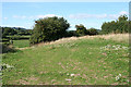
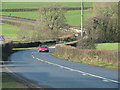
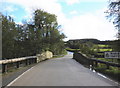
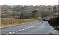
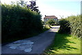
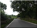
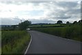
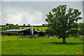
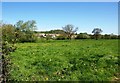
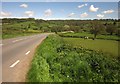
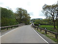
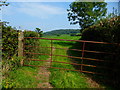
17 photos from this area
Area Information
Key information about the EX14 9AX including its size, population, and administrative classification.
- Area Type
- Postcode
- Area Size
- 1.4 km²
- Population
- 1345
- Population Density
- 28 people/km²
House Prices in EX14 9AX
8
Properties
£315,000
Average Sold Price
£250,000
Lowest Price
£380,000
Highest Price
Showing 8 properties
| Address | Type | Beds | Baths | Last Sale Price | Last Sale Date | |
|---|---|---|---|---|---|---|
| Waterhayne Cottage, Road Past Crawley Bridge, Yarcombe, EX14 9AX | house | 2 | - | £380,000 | Aug 2019 | |
| Bridge Meadow, Access To Bridge Meadow, Yarcombe, EX14 9AX | house | - | - | £250,000 | Nov 2012 | |
| Crawley Bridge, Road Past Crawley Bridge, Yarcombe, EX14 9AX | commercial | - | - | - | - | |
| Orchard Cottage, Access To Stevens Farm, Yarcombe, EX14 9AX | house | - | - | - | - | |
| North Waterhayne Farm, Lane To North Waterhayne Farm, Yarcombe, EX14 9AX | Detached | - | - | - | - | |
| Hazeldene, Road From Yarcombe Garage To James Lane Cross, Yarcombe, EX14 9AX | Detached | - | - | - | - | |
| Stevens Farmhouse, Access To Stevens Farm, Yarcombe, EX14 9AX | house | - | - | - | - | |
| South Waterhayne Farm, Lane To South Waterhayne Farm, Yarcombe, EX14 9AX | house | - | - | - | - |
Energy Efficiency in EX14 9AX
Amenities
Schools
| Rank | School | Type | Entry gender | Ages |
|---|
Explore more schools in this area
Go to Schools tabDemographics
Household Size
Two person
most common
Accommodation Type
Houses
most common
Tenure
76
majority
Ethnic Group
White
most common
Religion
N/A
most common
Household Composition
N/A
most common
Age
47
median
Adults (30-64 years)
most common
Household Deprivation
N/A
with no deprivation
NS-SEC
38
in Lower managerial occupations
Explore more demographic insights in this area
Go to Demographics tabPlanning
Planning Constraints
- Flood RiskPremium
- Ramsar Wetland SitesPremium
- Area of Outstanding Natural BeautyPremium
- Protected Nature ReservePremium
- Protected WoodlandPremium