Area Overview for DT9 4EA
Photos of DT9 4EA
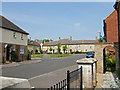
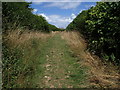
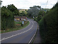
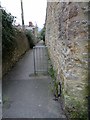
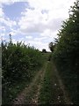
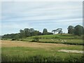
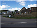
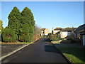
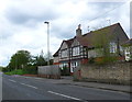
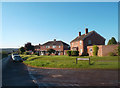
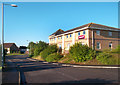
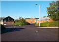
21 photos from this area
Area Information
Key information about the DT9 4EA including its size, population, and administrative classification.
- Area Type
- Postcode
- Area Size
- 1.7 hectares
- Population
- 1329
- Population Density
- 1284 people/km²
House Prices in DT9 4EA
21
Properties
£169,050
Average Sold Price
£53,000
Lowest Price
£278,000
Highest Price
Showing 21 properties
| Address | Type | Beds | Baths | Last Sale Price | Last Sale Date | |
|---|---|---|---|---|---|---|
| 27 Castle Town Way, Sherborne, DT9 4EA | house | - | - | £220,000 | Dec 2021 | |
| Briar Cottage, Castle Town Way, Sherborne, DT9 4EA | Terraced | 3 | 1 | £278,000 | Sep 2021 | |
| 21 Castle Town Way, Sherborne, DT9 4EA | house | - | - | £170,000 | May 2019 | |
| 23 Castle Town Way, Sherborne, DT9 4EA | Terraced | 2 | - | £175,000 | Oct 2016 | |
| 25 Castle Town Way, Sherborne, DT9 4EA | house | - | - | £154,000 | Dec 2015 | |
| 13 Castle Town Way, Sherborne, DT9 4EA | Terraced | 2 | - | £170,000 | Jan 2014 | |
| 11 Castle Town Way, Sherborne, DT9 4EA | Terraced | 3 | - | £142,500 | Dec 2013 | |
| 1 Castle Town Way, Sherborne, DT9 4EA | house | - | - | £160,000 | Apr 2011 | |
| 29 Castle Town Way, Sherborne, DT9 4EA | Semi-detached | 2 | - | £168,000 | Oct 2007 | |
| Fern Cottage, Castle Town Way, Sherborne, DT9 4EA | Terraced | 2 | 1 | £53,000 | Sep 1997 |
Page 1 of 3
Energy Efficiency in DT9 4EA
Amenities
Schools
| Rank | School | Type | Entry gender | Ages |
|---|
Explore more schools in this area
Go to Schools tabDemographics
Household Size
Two person
most common
Accommodation Type
Houses
most common
Tenure
66
majority
Ethnic Group
White
most common
Religion
N/A
most common
Household Composition
N/A
most common
Age
47
median
Elderly (65+ years)
most common
Household Deprivation
N/A
with no deprivation
NS-SEC
41
in Lower managerial occupations
Explore more demographic insights in this area
Go to Demographics tabPlanning
Planning Constraints
- Flood RiskPremium
- Ramsar Wetland SitesPremium
- Area of Outstanding Natural BeautyPremium
- Protected Nature ReservePremium
- Protected WoodlandPremium