Area Overview for DT9 4AS
Photos of DT9 4AS
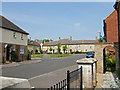
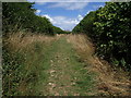
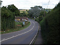
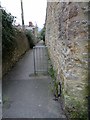
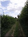
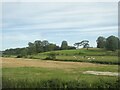
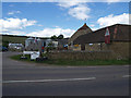
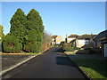
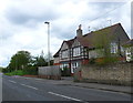
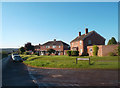
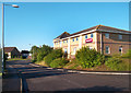
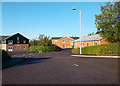
21 photos from this area
Area Information
Key information about the DT9 4AS including its size, population, and administrative classification.
- Area Type
- Postcode
- Area Size
- 2.2 hectares
- Population
- 1329
- Population Density
- 1284 people/km²
House Prices in DT9 4AS
45
Properties
£219,391
Average Sold Price
£67,995
Lowest Price
£425,000
Highest Price
Showing 45 properties
| Address | Type | Beds | Baths | Last Sale Price | Last Sale Date | |
|---|---|---|---|---|---|---|
| 18 Granville Way, Sherborne, DT9 4AS | Terraced | 3 | 1 | £330,000 | Sep 2025 | |
| 29 Granville Way, Sherborne, DT9 4AS | house | - | - | £270,000 | Jul 2025 | |
| 3 Granville Way, Sherborne, DT9 4AS | house | 3 | 1 | £277,000 | May 2023 | |
| 37 Granville Way, Sherborne, DT9 4AS | Detached | - | - | £300,000 | Apr 2023 | |
| 4 Granville Way, Sherborne, DT9 4AS | Terraced | 2 | - | £223,000 | Nov 2022 | |
| 28 Granville Way, Sherborne, DT9 4AS | Terraced | 2 | 1 | £245,000 | Nov 2022 | |
| 14 Granville Way, Sherborne, DT9 4AS | house | - | - | £247,500 | Oct 2022 | |
| 2 Granville Way, Sherborne, DT9 4AS | house | - | - | £299,500 | May 2022 | |
| 17 Granville Way, Sherborne, DT9 4AS | Semi-detached | 3 | 1 | £295,000 | Sep 2021 | |
| 23 Granville Way, Sherborne, DT9 4AS | Terraced | 3 | 1 | £250,000 | Feb 2021 |
Page 1 of 5
Energy Efficiency in DT9 4AS
Amenities
Schools
| Rank | School | Type | Entry gender | Ages |
|---|
Explore more schools in this area
Go to Schools tabDemographics
Household Size
Two person
most common
Accommodation Type
Houses
most common
Tenure
66
majority
Ethnic Group
White
most common
Religion
N/A
most common
Household Composition
N/A
most common
Age
47
median
Elderly (65+ years)
most common
Household Deprivation
N/A
with no deprivation
NS-SEC
41
in Lower managerial occupations
Explore more demographic insights in this area
Go to Demographics tabPlanning
Planning Constraints
- Flood RiskPremium
- Ramsar Wetland SitesPremium
- Area of Outstanding Natural BeautyPremium
- Protected Nature ReservePremium
- Protected WoodlandPremium