Area Overview for DT8 3BS
Photos of DT8 3BS
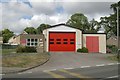
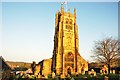
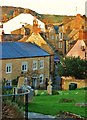
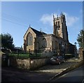
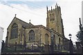
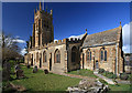
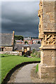
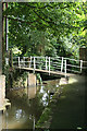
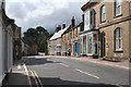
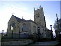
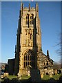
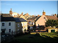
100 photos from this area
Area Information
Key information about the DT8 3BS including its size, population, and administrative classification.
- Area Type
- Postcode
- Area Size
- 5.0 hectares
- Population
- 1394
- Population Density
- 340 people/km²
House Prices in DT8 3BS
35
Properties
£179,119
Average Sold Price
£130,000
Lowest Price
£268,000
Highest Price
Showing 35 properties
| Address | Type | Beds | Baths | Last Sale Price | Last Sale Date | |
|---|---|---|---|---|---|---|
| 31 Fairfield, Beaminster, DT8 3BS | Semi-detached | 3 | 1 | £268,000 | Jun 2023 | |
| 26 Fairfield, Beaminster, DT8 3BS | house | - | - | £165,000 | Sep 2021 | |
| 25 Fairfield, Beaminster, DT8 3BS | house | - | - | £183,000 | Jul 2021 | |
| 16 Fairfield, Beaminster, DT8 3BS | Terraced | 3 | 1 | £155,000 | Dec 2018 | |
| 14 Fairfield, Beaminster, DT8 3BS | Semi-detached | 3 | 1 | £199,950 | Jul 2018 | |
| 29 Fairfield, Beaminster, DT8 3BS | house | - | - | £200,000 | Sep 2017 | |
| 19 Fairfield, Beaminster, DT8 3BS | Terraced | 3 | 1 | £132,000 | Mar 2017 | |
| 11 Fairfield, Beaminster, DT8 3BS | house | 3 | - | £130,000 | Oct 2010 | |
| 3 Fairfield, Beaminster, DT8 3BS | Terraced | 3 | 1 | - | - | |
| 8 Fairfield, Beaminster, DT8 3BS | house | 3 | - | - | - |
Page 1 of 4
Energy Efficiency in DT8 3BS
Amenities
Schools
| Rank | School | Type | Entry gender | Ages |
|---|
Explore more schools in this area
Go to Schools tabDemographics
Household Size
Two person
most common
Accommodation Type
Houses
most common
Tenure
73
majority
Ethnic Group
White
most common
Religion
N/A
most common
Household Composition
N/A
most common
Age
47
median
Elderly (65+ years)
most common
Household Deprivation
N/A
with no deprivation
NS-SEC
34
in Lower managerial occupations
Explore more demographic insights in this area
Go to Demographics tabPlanning
Planning Constraints
- Flood RiskPremium
- Ramsar Wetland SitesPremium
- Area of Outstanding Natural BeautyPremium
- Protected Nature ReservePremium
- Protected WoodlandPremium