Area Overview for DT11 0SP
Photos of DT11 0SP
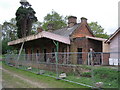
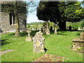
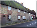
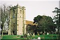
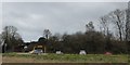
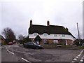
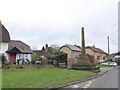
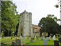

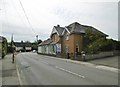
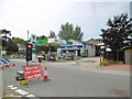
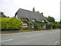
56 photos from this area
Area Information
Key information about the DT11 0SP including its size, population, and administrative classification.
- Area Type
- Postcode
- Area Size
- 2.5 hectares
- Population
- 1547
- Population Density
- 192 people/km²
House Prices in DT11 0SP
29
Properties
£305,417
Average Sold Price
£53,500
Lowest Price
£527,500
Highest Price
Showing 29 properties
| Address | Type | Beds | Baths | Last Sale Price | Last Sale Date | |
|---|---|---|---|---|---|---|
| Fairholme, The Cross, Shillingstone, DT11 0SP | Bungalow | 2 | 1 | £450,000 | Dec 2025 | |
| Burlton Cottage, The Cross, Shillingstone, DT11 0SP | Cottage | 4 | 2 | £450,000 | Nov 2025 | |
| Maypole Cottage, The Cross, Shillingstone, DT11 0SP | Detached | 4 | 1 | £397,500 | Apr 2022 | |
| Badgers, The Cross, Shillingstone, DT11 0SP | Bungalow | - | - | £440,000 | Jun 2021 | |
| Bowland, The Cross, Shillingstone, DT11 0SP | house | 4 | - | £527,500 | Oct 2020 | |
| Windover, The Cross, Shillingstone, DT11 0SP | house | - | - | £307,500 | Dec 2017 | |
| Cherry Cottage, The Cross, Shillingstone, DT11 0SP | Semi-detached | - | - | £285,000 | Sep 2017 | |
| Ivy House, The Cross, Shillingstone, DT11 0SP | Semi-detached | 6 | - | £340,000 | Jun 2016 | |
| Avalon, The Cross, Shillingstone, DT11 0SP | Semi-detached | 4 | 2 | £395,000 | Jan 2016 | |
| Cross House, The Cross, Shillingstone, DT11 0SP | Semi-detached | 5 | - | £298,150 | Mar 2015 |
Page 1 of 3
Energy Efficiency in DT11 0SP
Amenities
Schools
| Rank | School | Type | Entry gender | Ages |
|---|
Explore more schools in this area
Go to Schools tabDemographics
Household Size
Two person
most common
Accommodation Type
Houses
most common
Tenure
84
majority
Ethnic Group
White
most common
Religion
N/A
most common
Household Composition
N/A
most common
Age
47
median
Adults (30-64 years)
most common
Household Deprivation
N/A
with no deprivation
NS-SEC
41
in Lower managerial occupations
Explore more demographic insights in this area
Go to Demographics tabPlanning
Planning Constraints
- Flood RiskPremium
- Ramsar Wetland SitesPremium
- Area of Outstanding Natural BeautyPremium
- Protected Nature ReservePremium
- Protected WoodlandPremium