Area Overview for DT11 0RA
Photos of DT11 0RA
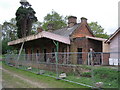
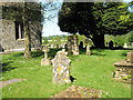
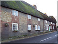
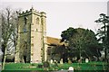
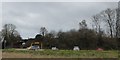
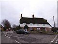
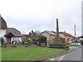
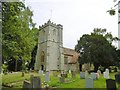
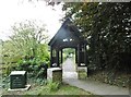
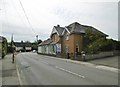
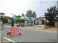
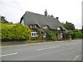
56 photos from this area
Area Information
Key information about the DT11 0RA including its size, population, and administrative classification.
- Area Type
- Postcode
- Area Size
- 9.7 hectares
- Population
- 1547
- Population Density
- 192 people/km²
House Prices in DT11 0RA
20
Properties
£471,500
Average Sold Price
£285,000
Lowest Price
£652,000
Highest Price
Showing 20 properties
| Address | Type | Beds | Baths | Last Sale Price | Last Sale Date | |
|---|---|---|---|---|---|---|
| Badgers Hollow, Knapps, Shillingstone, DT11 0RA | Bungalow | 3 | 2 | £520,000 | Jun 2024 | |
| Holmleigh, Knapps, Shillingstone, DT11 0RA | Detached | 4 | 2 | £650,000 | Feb 2024 | |
| Hillcrest, Knapps, Shillingstone, DT11 0RA | Detached | 4 | - | £652,000 | Mar 2022 | |
| The Dairy, Knapps, Shillingstone, DT11 0RA | Bungalow | - | - | £484,000 | Nov 2019 | |
| Cookwell Lodge, Knapps, Shillingstone, DT11 0RA | house | - | - | £380,000 | Nov 2019 | |
| Lynwood, Knapps, Shillingstone, DT11 0RA | Bungalow | 3 | 1 | £285,000 | Nov 2019 | |
| Hillside, Knapps, Shillingstone, DT11 0RA | Detached | 5 | 1 | £329,500 | Aug 2016 | |
| Narbury, Knapps, Shillingstone, DT11 0RA | Bungalow | 3 | 1 | - | - | |
| Barn Hays, Knapps, Shillingstone, DT11 0RA | Bungalow | 4 | 2 | - | - | |
| Ravenscrest, Knapps, Shillingstone, DT11 0RA | Bungalow | 3 | 1 | - | - |
Page 1 of 2
Energy Efficiency in DT11 0RA
Amenities
Schools
| Rank | School | Type | Entry gender | Ages |
|---|
Explore more schools in this area
Go to Schools tabDemographics
Household Size
Two person
most common
Accommodation Type
Houses
most common
Tenure
84
majority
Ethnic Group
White
most common
Religion
N/A
most common
Household Composition
N/A
most common
Age
47
median
Adults (30-64 years)
most common
Household Deprivation
N/A
with no deprivation
NS-SEC
41
in Lower managerial occupations
Explore more demographic insights in this area
Go to Demographics tabPlanning
Planning Constraints
- Flood RiskPremium
- Ramsar Wetland SitesPremium
- Area of Outstanding Natural BeautyPremium
- Protected Nature ReservePremium
- Protected WoodlandPremium