Area Overview for DT10 2HD
Photos of DT10 2HD
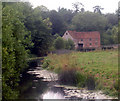
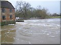
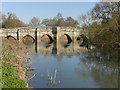
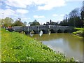

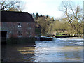
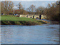


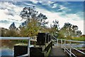
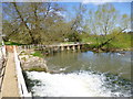
99 photos from this area
Area Information
Key information about the DT10 2HD including its size, population, and administrative classification.
- Area Type
- Postcode
- Area Size
- 30.7 hectares
- Population
- 2193
- Population Density
- 102 people/km²
House Prices in DT10 2HD
23
Properties
£390,975
Average Sold Price
£115,000
Lowest Price
£540,000
Highest Price
Showing 23 properties
| Address | Type | Beds | Baths | Last Sale Price | Last Sale Date | |
|---|---|---|---|---|---|---|
| Blackmoor View, Copse Hill, Broad Oak, DT10 2HD | Detached | 4 | 2 | £540,000 | Dec 2024 | |
| Trenwyn, Common Lane, Broad Oak, DT10 2HD | Bungalow | 2 | - | £327,000 | Feb 2021 | |
| Pathways, Common Lane, Broad Oak, DT10 2HD | house | - | - | £440,000 | Jun 2020 | |
| Strouds, Common Lane, Broad Oak, DT10 2HD | house | - | - | £375,000 | Jan 2020 | |
| Clematis Cottage, Common Lane, Broad Oak, DT10 2HD | Semi-detached | - | - | £260,000 | May 2019 | |
| Gale Hill, Common Lane, Broad Oak, DT10 2HD | Detached | 3 | - | £489,950 | Oct 2017 | |
| Broad Oak Cottage, Common Lane, Broad Oak, DT10 2HD | Detached | 4 | 2 | £420,000 | Dec 2016 | |
| Hillbrow, Common Lane, Broad Oak, DT10 2HD | Detached | 4 | 2 | £405,000 | Apr 2016 | |
| Gulden Cottage, Common Lane, Broad Oak, DT10 2HD | house | - | - | £475,000 | Jan 2016 | |
| Greystones, Common Lane, Broad Oak, DT10 2HD | Detached | 3 | 3 | £455,000 | Jul 2011 |
Page 1 of 3
Energy Efficiency in DT10 2HD
Amenities
Schools
| Rank | School | Type | Entry gender | Ages |
|---|
Explore more schools in this area
Go to Schools tabDemographics
Household Size
Two person
most common
Accommodation Type
Houses
most common
Tenure
79
majority
Ethnic Group
White
most common
Religion
N/A
most common
Household Composition
N/A
most common
Age
47
median
Adults (30-64 years)
most common
Household Deprivation
N/A
with no deprivation
NS-SEC
33
in Lower managerial occupations
Explore more demographic insights in this area
Go to Demographics tabPlanning
Planning Constraints
- Flood RiskPremium
- Ramsar Wetland SitesPremium
- Area of Outstanding Natural BeautyPremium
- Protected Nature ReservePremium
- Protected WoodlandPremium