Area Overview for BS7 9RF
Photos of BS7 9RF
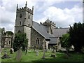
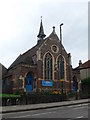
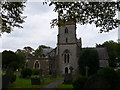
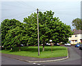
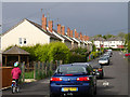
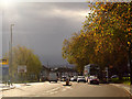
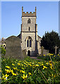
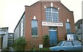
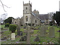
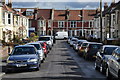
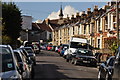
100 photos from this area
Area Information
Key information about the BS7 9RF including its size, population, and administrative classification.
- Area Type
- Postcode
- Area Size
- 8179 m²
- Population
- 2129
- Population Density
- 8945 people/km²
House Prices in BS7 9RF
30
Properties
£264,589
Average Sold Price
£30,678
Lowest Price
£535,000
Highest Price
Showing 30 properties
| Address | Type | Beds | Baths | Last Sale Price | Last Sale Date | |
|---|---|---|---|---|---|---|
| 70A Muller Road, Horfield, Bristol, BS7 9RF | Terraced | 3 | 1 | £449,000 | Nov 2022 | |
| 102 Muller Road, Horfield, Bristol, BS7 9RF | Terraced | 4 | 2 | £535,000 | Jun 2022 | |
| 80 Muller Road, Horfield, Bristol, BS7 9RF | Terraced | 3 | 1 | £394,500 | Feb 2021 | |
| 100 Muller Road, Horfield, Bristol, BS7 9RF | Terraced | 3 | 1 | £310,000 | Nov 2019 | |
| 104 Muller Road, Horfield, Bristol, BS7 9RF | Terraced | 4 | 2 | £395,000 | Aug 2019 | |
| 94 Muller Road, Horfield, Bristol, BS7 9RF | Terraced | 3 | 1 | £341,000 | Mar 2019 | |
| 86 Muller Road, Horfield, Bristol, BS7 9RF | Terraced | 3 | 2 | £300,000 | Sep 2018 | |
| 82 Muller Road, Horfield, Bristol, BS7 9RF | Detached | 8 | 3 | £275,000 | Oct 2015 | |
| 70 Muller Road, Horfield, Bristol, BS7 9RF | Land | 3 | - | £245,000 | Aug 2015 | |
| 78 Muller Road, Horfield, Bristol, BS7 9RF | house | - | - | £263,675 | Jun 2015 |
Page 1 of 3
Energy Efficiency in BS7 9RF
Amenities
Schools
| Rank | School | Type | Entry gender | Ages |
|---|
Explore more schools in this area
Go to Schools tabDemographics
Household Size
Family (3-5 people)
most common
Accommodation Type
Houses
most common
Tenure
70
majority
Ethnic Group
White
most common
Religion
N/A
most common
Household Composition
N/A
most common
Age
47
median
Adults (30-64 years)
most common
Household Deprivation
N/A
with no deprivation
NS-SEC
48
in Lower managerial occupations
Explore more demographic insights in this area
Go to Demographics tabPlanning
Planning Constraints
- Flood RiskPremium
- Ramsar Wetland SitesPremium
- Area of Outstanding Natural BeautyPremium
- Protected Nature ReservePremium
- Protected WoodlandPremium