Area Overview for BS7 0LW
Photos of BS7 0LW

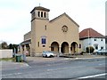
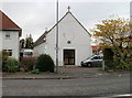
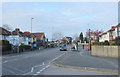
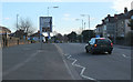
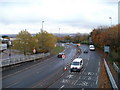
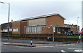
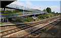
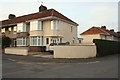

100 photos from this area
Area Information
Key information about the BS7 0LW including its size, population, and administrative classification.
- Area Type
- Postcode
- Area Size
- 5765 m²
- Population
- 1587
- Population Density
- 5989 people/km²
House Prices in BS7 0LW
39
Properties
£161,150
Average Sold Price
£48,000
Lowest Price
£355,000
Highest Price
Showing 39 properties
| Address | Type | Beds | Baths | Last Sale Price | Last Sale Date | |
|---|---|---|---|---|---|---|
| 506 Filton Avenue, Horfield, BS7 0LW | house | 3 | 1 | £355,000 | Jun 2024 | |
| 490 Filton Avenue, Horfield, BS7 0LW | house | - | - | £252,500 | Jan 2017 | |
| 492 Filton Avenue, Horfield, BS7 0LW | Terraced | 5 | 1 | £226,000 | Dec 2016 | |
| 482 Filton Avenue, Horfield, BS7 0LW | Terraced | 5 | 2 | £155,000 | Jul 2014 | |
| 494 Filton Avenue, Horfield, BS7 0LW | Terraced | 2 | 1 | £145,000 | Sep 2011 | |
| 486 Filton Avenue, Horfield, BS7 0LW | Terraced | 4 | 1 | £135,000 | Aug 2009 | |
| 484 Filton Avenue, Horfield, BS7 0LW | Terraced | 5 | 1 | £145,000 | Jul 2009 | |
| 504 Filton Avenue, Horfield, BS7 0LW | Terraced | 3 | 1 | £83,500 | Mar 2002 | |
| 496 Filton Avenue, Horfield, BS7 0LW | Terraced | 6 | 2 | £66,500 | Jan 2000 | |
| 502 Filton Avenue, Horfield, BS7 0LW | Terraced | - | - | £48,000 | May 1998 |
Page 1 of 4
Energy Efficiency in BS7 0LW
Amenities
Schools
| Rank | School | Type | Entry gender | Ages |
|---|
Explore more schools in this area
Go to Schools tabDemographics
Household Size
Family (3-5 people)
most common
Accommodation Type
Houses
most common
Tenure
55
majority
Ethnic Group
White
most common
Religion
N/A
most common
Household Composition
N/A
most common
Age
22
median
Young Adults (15-29 years)
most common
Household Deprivation
N/A
with no deprivation
NS-SEC
26
in Lower managerial occupations
Explore more demographic insights in this area
Go to Demographics tabPlanning
Planning Constraints
- Flood RiskPremium
- Ramsar Wetland SitesPremium
- Area of Outstanding Natural BeautyPremium
- Protected Nature ReservePremium
- Protected WoodlandPremium